ಚಿತ್ರ:South China Sea location map.svg

ಮೂಲ ಕಡತ (SVG ಫೈಲು, ಸುಮಾರಾಗಿ ೧,೧೩೪ × ೧,೨೨೯ ಚಿತ್ರಬಿಂದುಗಳು, ಫೈಲಿನ ಗಾತ್ರ: ೬೧೭ KB)
ಈ ಫೈಲು ವಿಕಿಮೀಡಿಯ ಕಾಮನ್ಸ್ನಲ್ಲಿ ಇರುವುದು. ಅಲ್ಲಿನ ವಿವರಣೆ ಪುಟವನ್ನೇ ಕೆಳಗೆ ತೋರಿಸಲಾಗಿದೆ. ಕಾಮನ್ಸ್ ಕೃತಿಸ್ವಾಮ್ಯತೆಯಿಂದ ಮುಕ್ತ ಫೈಲುಗಳ ಒಂದು ಆಗರ. ಅಲ್ಲಿ ನೀವೂ ಸಹಕರಿಸಬಹುದು. |
ಸಾರಾಂಶ
| ವಿವರ |
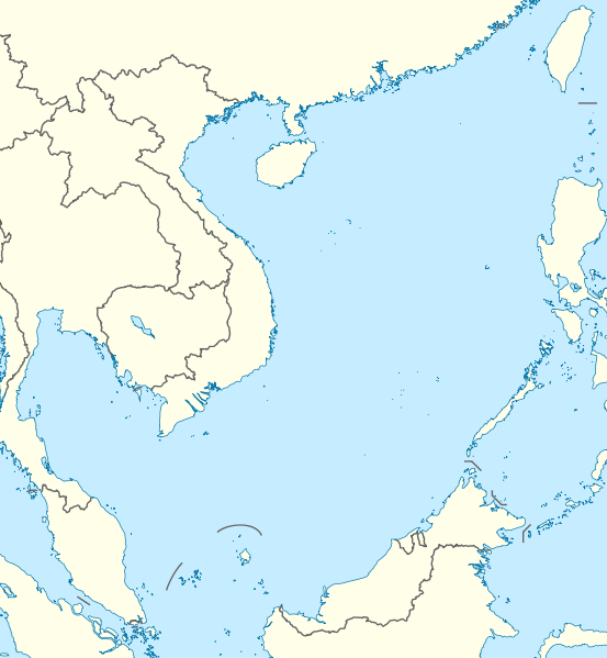
Deutsch: Positionskarte des Südchinesischen Meers
Quadratische Plattkarte, N-S-Streckung 102 %. Geographische Begrenzung der Karte:
English: Location map of the South China Sea
Equirectangular projection, N/S stretching 102 %. Geographic limits of the map:
|
|
| ದಿನಾಂಕ | ||
| ಆಕರ | own work, using World Data Base II data | |
| ಕರ್ತೃ | NordNordWest | |
| ಅನುಮತಿ (ಈ ಕಡತವನ್ನು ಮರುಬಳಕೆ ಮಾಡಲಾಗುತ್ತಿದೆ) |
This file is licensed under the Creative Commons Attribution-Share Alike 3.0 Germany license.
 ಈ ಕಡತ ಕ್ರಿಯೇಟಿವ್ ಕಾಮನ್ಸ್ Attribution
-Share Alike 3.0 Unported ಪರವಾನಗಿ ಹೊಂದಿದೆ.
|


|
This map has been made or improved in the German Kartenwerkstatt (Map Lab). You can propose maps to improve as well.
|
ಕಡತದ ಇತಿಹಾಸ
ದಿನ/ಕಾಲ ಒತ್ತಿದರೆ ಆ ಸಮಯದಲ್ಲಿ ಈ ಕಡತದ ವಸ್ತುಸ್ಥಿತಿ ತೋರುತ್ತದೆ.
| ದಿನ/ಕಾಲ | ಕಿರುನೋಟ | ಆಯಾಮಗಳು | ಬಳಕೆದಾರ | ಟಿಪ್ಪಣಿ | |
|---|---|---|---|---|---|
| ಪ್ರಸಕ್ತ | ೦೦:೨೬, ೧೮ ಆಗಸ್ಟ್ ೨೦೧೧ | | ೧,೧೩೪ × ೧,೨೨೯ (೬೧೭ KB) | NordNordWest | == {{int:filedesc}} == {{Information |Description= {{de|Positionskarte des Südchinesischen Meers}} Quadratische Plattkarte, N-S-Streckung 102 %. Geographische Begrenzung der Karte: * N: 25.5° N * S: 0° N * W: 98.5° O * O: |
ಕಡತ ಬಳಕೆ
ಈ ಕೆಳಗಿನ ಪುಟವು ಈ ಚಿತ್ರಕ್ಕೆ ಸಂಪರ್ಕ ಹೊಂದಿದೆ:
ಜಾಗತಿಕ ಕಡತ ಉಪಯೋಗ
ಈ ಕಡತವನ್ನು ಕೆಳಗಿನ ಬೇರೆ ವಿಕಿಗಳೂ ಉಪಯೋಗಿಸುತ್ತಿವೆ:
- an.wikipedia.org ಮೇಲೆ ಬಳಕೆ
- ar.wikipedia.org ಮೇಲೆ ಬಳಕೆ
- az.wikipedia.org ಮೇಲೆ ಬಳಕೆ
- ban.wikipedia.org ಮೇಲೆ ಬಳಕೆ
- bcl.wikipedia.org ಮೇಲೆ ಬಳಕೆ
- be.wikipedia.org ಮೇಲೆ ಬಳಕೆ
- bn.wikipedia.org ಮೇಲೆ ಬಳಕೆ
- ceb.wikipedia.org ಮೇಲೆ ಬಳಕೆ
- de.wikipedia.org ಮೇಲೆ ಬಳಕೆ
- en.wikipedia.org ಮೇಲೆ ಬಳಕೆ
- Kaohsiung
- Paracel Islands
- Spratly Islands
- Hainan
- Weizhou Island
- Pratas Island
- Natuna Regency
- Perhentian Islands
- Woody Island (South China Sea)
- Batam
- Third Taiwan Strait Crisis
- Anambas Islands Regency
- Taiping Island
- Redang Island
- Lang Tengah Island
- Scarborough Shoal
- Kapas Island
- Kalayaan, Palawan
- Trường Sa (township)
- Tenggol Island
- Thitu Island
- Bidong Island
- List of temples of the Church of Jesus Christ of Latter-day Saints by geographic region
- List of airports in Taiwan
- Tree Island, South China Sea
- Rocky Island, South China Sea
- Triton Island
- Bombay Reef
- Natuna Besar
- Sansha
- 1967 USS Forrestal fire
- Spratly Island
ಈ ಫೈಲ್ನ ಹೆಚ್ಚು ಜಾಗತಿಕ ಬಳಕೆಯನ್ನು ವೀಕ್ಷಿಸಿ.