ಚಿತ್ರ:South Africa Western Cape location map.svg

Size of this PNG preview of this SVG file: ೭೪೯ × ೬೦೦ ಪಿಕ್ಸೆಲ್ಗಳು. ಇತರ ರೆಸಲ್ಯೂಶನ್ಗಳು: ೩೦೦ × ೨೪೦ ಪಿಕ್ಸೆಲ್ಗಳು | ೬೦೦ × ೪೮೦ ಪಿಕ್ಸೆಲ್ಗಳು | ೯೫೯ × ೭೬೮ ಪಿಕ್ಸೆಲ್ಗಳು | ೧,೨೭೯ × ೧,೦೨೪ ಪಿಕ್ಸೆಲ್ಗಳು | ೨,೫೫೮ × ೨,೦೪೮ ಪಿಕ್ಸೆಲ್ಗಳು | ೧,೨೧೪ × ೯೭೨ ಪಿಕ್ಸೆಲ್ಗಳು.
ಮೂಲ ಕಡತ (SVG ಫೈಲು, ಸುಮಾರಾಗಿ ೧,೨೧೪ × ೯೭೨ ಚಿತ್ರಬಿಂದುಗಳು, ಫೈಲಿನ ಗಾತ್ರ: ೨೦೪ KB)
ಈ ಫೈಲು ವಿಕಿಮೀಡಿಯ ಕಾಮನ್ಸ್ನಲ್ಲಿ ಇರುವುದು. ಅಲ್ಲಿನ ವಿವರಣೆ ಪುಟವನ್ನೇ ಕೆಳಗೆ ತೋರಿಸಲಾಗಿದೆ. ಕಾಮನ್ಸ್ ಕೃತಿಸ್ವಾಮ್ಯತೆಯಿಂದ ಮುಕ್ತ ಫೈಲುಗಳ ಒಂದು ಆಗರ. ಅಲ್ಲಿ ನೀವೂ ಸಹಕರಿಸಬಹುದು. |
ಸಾರಾಂಶ
| ವಿವರ |
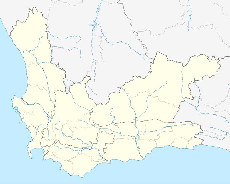
English: Location map of the Western Cape
Equirectangular projection, N/S stretching 118%. Geographic limits of the map:
|
| ದಿನಾಂಕ | |
| ಆಕರ |
|
| ಕರ್ತೃ | Htonl |
| ಅನುಮತಿ (ಈ ಕಡತವನ್ನು ಮರುಬಳಕೆ ಮಾಡಲಾಗುತ್ತಿದೆ) |
I, the copyright holder of this work, hereby publish it under the following license: ಈ ಕಡತ ಕ್ರಿಯೇಟಿವ್ ಕಾಮನ್ಸ್ Attribution
-Share Alike 3.0 Unported ಪರವಾನಗಿ ಹೊಂದಿದೆ.
|
| ಇತರೆ ಆವೃತ್ತಿಗಳು | File:South Africa Western Cape relief location map.svg, File:Blank map of the Western Cape (2011).svg |
.svg)
ಕಡತದ ಇತಿಹಾಸ
ದಿನ/ಕಾಲ ಒತ್ತಿದರೆ ಆ ಸಮಯದಲ್ಲಿ ಈ ಕಡತದ ವಸ್ತುಸ್ಥಿತಿ ತೋರುತ್ತದೆ.
| ದಿನ/ಕಾಲ | ಕಿರುನೋಟ | ಆಯಾಮಗಳು | ಬಳಕೆದಾರ | ಟಿಪ್ಪಣಿ | |
|---|---|---|---|---|---|
| ಪ್ರಸಕ್ತ | ೦೧:೧೦, ೫ ಜನವರಿ ೨೦೧೩ | | ೧,೨೧೪ × ೯೭೨ (೨೦೪ KB) | Htonl | tweak |
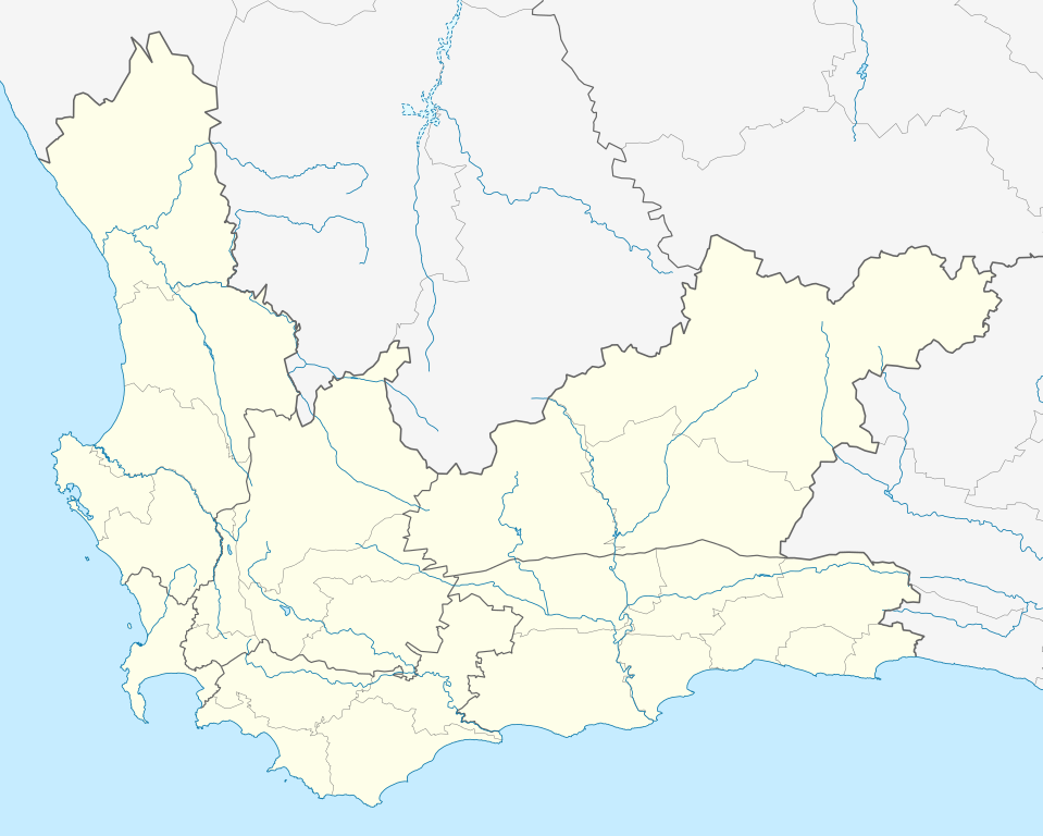
| ೦೪:೧೨, ೪ ಜನವರಿ ೨೦೧೩ |  | ೧,೨೧೪ × ೯೭೨ (೨೩೭ KB) | Htonl | new version w/ vmap0-derived rivers | |
| ೦೫:೫೪, ೧೩ ಡಿಸೆಂಬರ್ ೨೦೧೨ |  | ೧,೨೧೪ × ೯೭೨ (೨೦೨ KB) | Htonl | {{Information |Description ={{en|1=Location map of w:Western Cape, w:South Africa. Equirectangular projection. Geographic limits of the map: 17.5° to 24.5° E and 30.25° to 35° S.}} |Source =Own work, based on OpenStreetMap dat... |
ಕಡತ ಬಳಕೆ
ಈ ಕೆಳಗಿನ ಪುಟವು ಈ ಚಿತ್ರಕ್ಕೆ ಸಂಪರ್ಕ ಹೊಂದಿದೆ:
ಜಾಗತಿಕ ಕಡತ ಉಪಯೋಗ
ಈ ಕಡತವನ್ನು ಕೆಳಗಿನ ಬೇರೆ ವಿಕಿಗಳೂ ಉಪಯೋಗಿಸುತ್ತಿವೆ:
- af.wikipedia.org ಮೇಲೆ ಬಳಕೆ
- Kaapstad
- Heidelberg, Wes-Kaap
- Sedgefield
- Knysna
- Stellenbosch
- Robbeneiland
- Beaufort-Wes
- Genadendal
- George
- Paarl
- Swellendam
- Tulbagh
- Touwsrivier
- Mamre
- Franschhoek
- Plettenbergbaai
- Gordonsbaai
- Wellington, Wes-Kaap
- Bellville
- Durbanville
- Mosselbaai
- Atlantis, Wes-Kaap
- Malmesbury, Wes-Kaap
- Paternoster
- Hopefield
- Vredenburg
- Saldanha
- Langebaan
- Velddrif
- Jacobsbaai
- Laingsburg
- Kleinmond
- Matjiesfontein
- Simonstad
- Grabouw
- Moorreesburg
- Robertson
- Houtbaai
- Oudtshoorn
- Bredasdorp
- Distrik Ses
- Elim, Wes-Kaap
- Wupperthal
- Darling, Wes-Kaap
- Suurbraak
- Barrydale
- Napier
- Dysselsdorp
- Zoar, Wes-Kaap
- Piketberg
ಈ ಫೈಲ್ನ ಹೆಚ್ಚು ಜಾಗತಿಕ ಬಳಕೆಯನ್ನು ವೀಕ್ಷಿಸಿ.