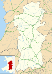
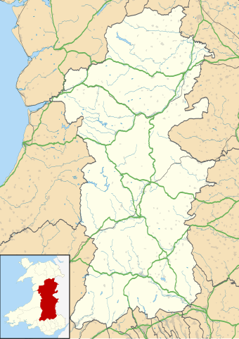
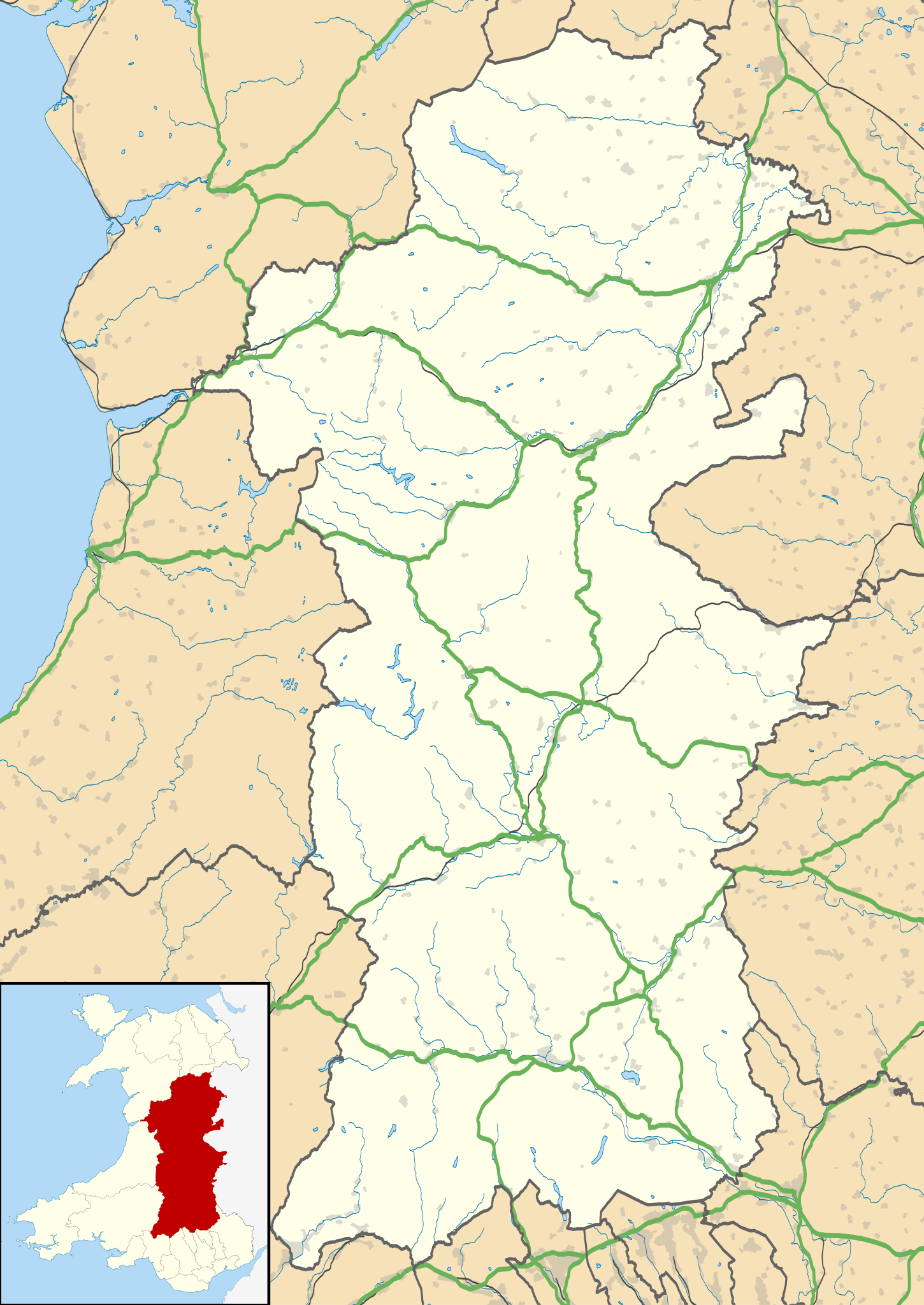
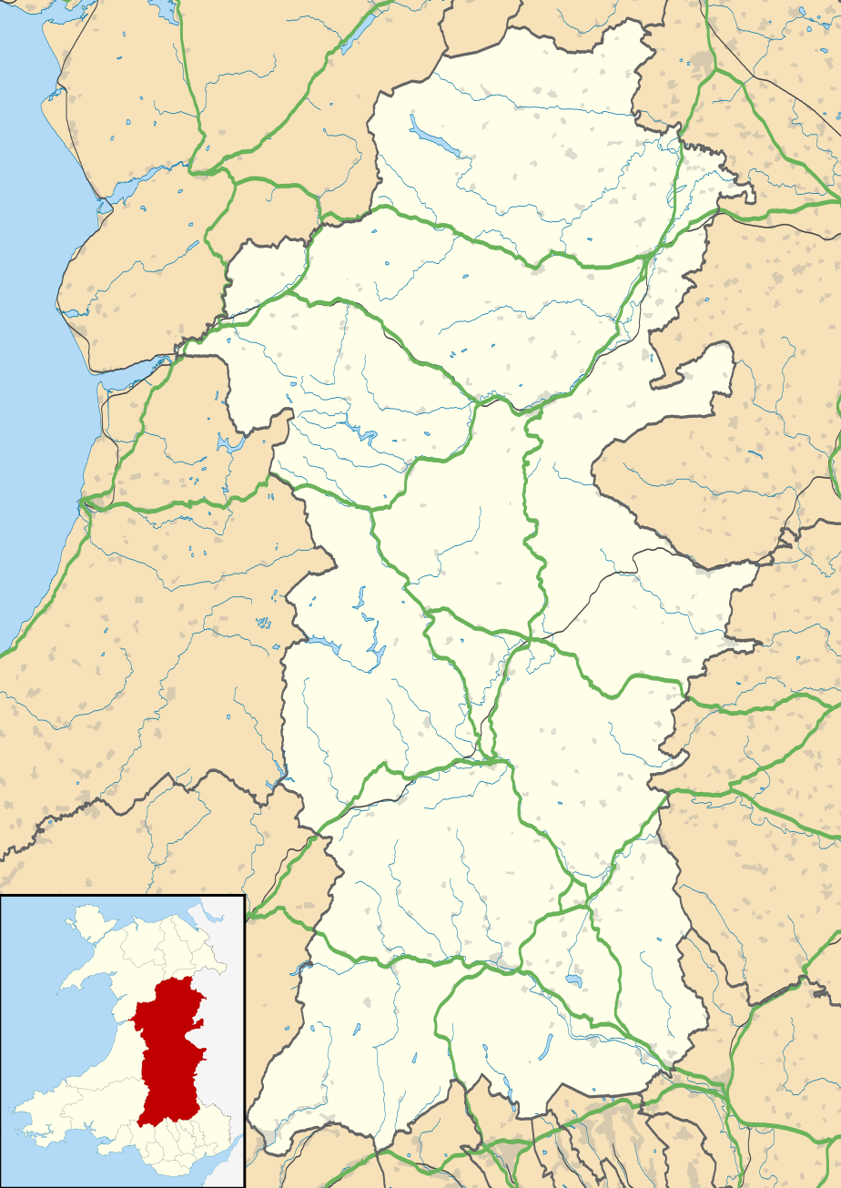
ಚಿತ್ರ:Powys UK location map.svg

Size of this PNG preview of this SVG file: ೪೨೪ × ೫೯೯ ಪಿಕ್ಸೆಲ್ಗಳು. ಇತರ ರೆಸಲ್ಯೂಶನ್ಗಳು: ೧೭೦ × ೨೪೦ ಪಿಕ್ಸೆಲ್ಗಳು | ೩೪೦ × ೪೮೦ ಪಿಕ್ಸೆಲ್ಗಳು | ೫೪೪ × ೭೬೮ ಪಿಕ್ಸೆಲ್ಗಳು | ೭೨೫ × ೧,೦೨೪ ಪಿಕ್ಸೆಲ್ಗಳು | ೧,೪೫೦ × ೨,೦೪೮ ಪಿಕ್ಸೆಲ್ಗಳು | ೯೨೪ × ೧,೩೦೫ ಪಿಕ್ಸೆಲ್ಗಳು.
ಮೂಲ ಕಡತ (SVG ಫೈಲು, ಸುಮಾರಾಗಿ ೯೨೪ × ೧,೩೦೫ ಚಿತ್ರಬಿಂದುಗಳು, ಫೈಲಿನ ಗಾತ್ರ: ೧.೭೫ MB)
ಈ ಫೈಲು ವಿಕಿಮೀಡಿಯ ಕಾಮನ್ಸ್ನಲ್ಲಿ ಇರುವುದು. ಅಲ್ಲಿನ ವಿವರಣೆ ಪುಟವನ್ನೇ ಕೆಳಗೆ ತೋರಿಸಲಾಗಿದೆ. ಕಾಮನ್ಸ್ ಕೃತಿಸ್ವಾಮ್ಯತೆಯಿಂದ ಮುಕ್ತ ಫೈಲುಗಳ ಒಂದು ಆಗರ. ಅಲ್ಲಿ ನೀವೂ ಸಹಕರಿಸಬಹುದು. |
| ವಿವರ |
Blank map of Powys, UK with the following information shown:
Equirectangular map projection on WGS 84 datum, with N/S stretched 165% Geographic limits:
|
| ದಿನಾಂಕ | |
| ಆಕರ |
|
| ಕರ್ತೃ | Nilfanion, created using Ordnance Survey data |
| ಅನುಮತಿ (ಈ ಕಡತವನ್ನು ಮರುಬಳಕೆ ಮಾಡಲಾಗುತ್ತಿದೆ) |
ಈ ಕಡತ ಕ್ರಿಯೇಟಿವ್ ಕಾಮನ್ಸ್ Attribution
-Share Alike 3.0 Unported ಪರವಾನಗಿ ಹೊಂದಿದೆ. ವೈಶಿಷ್ಟ್ಯ: Contains Ordnance Survey data © Crown copyright and database right
|
| ಇತರೆ ಆವೃತ್ತಿಗಳು | File:Powys UK map.svg - Blank map |
ಕಡತದ ಇತಿಹಾಸ
ದಿನ/ಕಾಲ ಒತ್ತಿದರೆ ಆ ಸಮಯದಲ್ಲಿ ಈ ಕಡತದ ವಸ್ತುಸ್ಥಿತಿ ತೋರುತ್ತದೆ.
| ದಿನ/ಕಾಲ | ಕಿರುನೋಟ | ಆಯಾಮಗಳು | ಬಳಕೆದಾರ | ಟಿಪ್ಪಣಿ | |
|---|---|---|---|---|---|
| ಪ್ರಸಕ್ತ | ೦೧:೧೧, ೨೭ ಸೆಪ್ಟೆಂಬರ್ ೨೦೧೦ | | ೯೨೪ × ೧,೩೦೫ (೧.೭೫ MB) | Nilfanion | {{Information |Description=Blank map of Powys, UK with the following information shown: *Administrative borders *Coastline, lakes and rivers *Roads and railways *Urban areas Equirectangular map projection on WGS 84 datum, with N/S stretched |
ಕಡತ ಬಳಕೆ
ಈ ಕೆಳಗಿನ ಪುಟವು ಈ ಚಿತ್ರಕ್ಕೆ ಸಂಪರ್ಕ ಹೊಂದಿದೆ:
ಜಾಗತಿಕ ಕಡತ ಉಪಯೋಗ
ಈ ಕಡತವನ್ನು ಕೆಳಗಿನ ಬೇರೆ ವಿಕಿಗಳೂ ಉಪಯೋಗಿಸುತ್ತಿವೆ:
- ar.wikipedia.org ಮೇಲೆ ಬಳಕೆ
- azb.wikipedia.org ಮೇಲೆ ಬಳಕೆ
- ca.wikipedia.org ಮೇಲೆ ಬಳಕೆ
- ceb.wikipedia.org ಮೇಲೆ ಬಳಕೆ
- cy.wikipedia.org ಮೇಲೆ ಬಳಕೆ
- da.wikipedia.org ಮೇಲೆ ಬಳಕೆ
- en.wikipedia.org ಮೇಲೆ ಬಳಕೆ
- Hay-on-Wye
- Llansantffraed
- List of monastic houses in Wales
- Powys
- Brecon
- Welshpool
- Machynlleth
- Llan, Powys
- Newtown, Powys
- Llanrhaeadr-ym-Mochnant
- Llanidloes
- Knighton, Powys
- New Radnor
- Presteigne
- Rhayader
- Builth Wells
- Llanwrtyd Wells
- Llandrindod Wells
- Llanwrtyd
- Montgomery, Powys
- Crickhowell
- Talgarth
- Ystradfellte
- Ystradgynlais
- Llandrinio
- Caersws
- Pontdolgoch
- Llanfair Caereinion
- Llanymynech
- Criggion Radio Station
- Llanelwedd
- Meifod
- Bwlch
- Pontneddfechan
- Trecastle
- Bettws Cedewain
- Beulah, Powys
- Talybont-on-Usk
- Bronllys
- Llandinam
- Abermule
- Van, Llanidloes
- Berriew
ಈ ಫೈಲ್ನ ಹೆಚ್ಚು ಜಾಗತಿಕ ಬಳಕೆಯನ್ನು ವೀಕ್ಷಿಸಿ.