ಚಿತ್ರ:Isle of Anglesey UK relief location map.jpg
ಈ ಮುನ್ನೋಟ ಗಾತ್ರ:೬೮೧ × ೫೯೯ ಪಿಕ್ಸೆಲ್ಗಳು. ಇತರ ರೆಸಲ್ಯೂಶನ್ಗಳು: ೨೭೩ × ೨೪೦ ಪಿಕ್ಸೆಲ್ಗಳು | ೫೪೬ × ೪೮೦ ಪಿಕ್ಸೆಲ್ಗಳು | ೮೭೩ × ೭೬೮ ಪಿಕ್ಸೆಲ್ಗಳು | ೧,೧೬೪ × ೧,೦೨೪ ಪಿಕ್ಸೆಲ್ಗಳು | ೧,೯೯೯ × ೧,೭೫೯ ಪಿಕ್ಸೆಲ್ಗಳು.
ಮೂಲ ಕಡತ (೧,೯೯೯ × ೧,೭೫೯ ಚಿತ್ರಬಿಂದು, ಫೈಲಿನ ಗಾತ್ರ: ೨೫೬ KB, MIME ಪ್ರಕಾರ: image/jpeg)
ಈ ಫೈಲು ವಿಕಿಮೀಡಿಯ ಕಾಮನ್ಸ್ನಲ್ಲಿ ಇರುವುದು. ಅಲ್ಲಿನ ವಿವರಣೆ ಪುಟವನ್ನೇ ಕೆಳಗೆ ತೋರಿಸಲಾಗಿದೆ. ಕಾಮನ್ಸ್ ಕೃತಿಸ್ವಾಮ್ಯತೆಯಿಂದ ಮುಕ್ತ ಫೈಲುಗಳ ಒಂದು ಆಗರ. ಅಲ್ಲಿ ನೀವೂ ಸಹಕರಿಸಬಹುದು. |
| ವಿವರ |
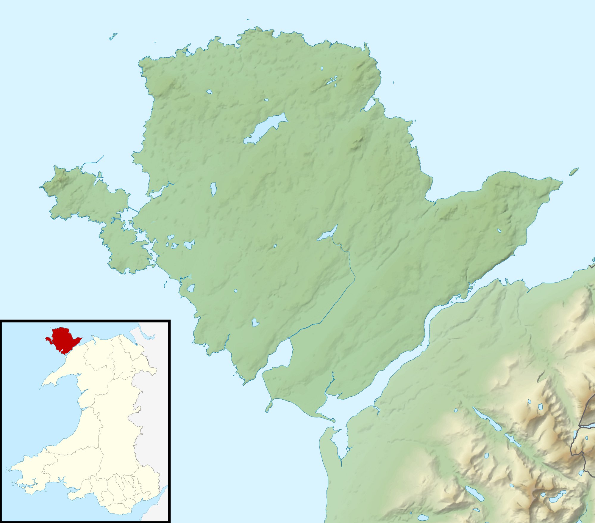
Relief map of Anglesey, UK. Equirectangular map projection on WGS 84 datum, with N/S stretched 165% Geographic limits:
|
| ದಿನಾಂಕ | |
| ಆಕರ |
|
| ಕರ್ತೃ | Nilfanion, created using Ordnance Survey data |
| ಅನುಮತಿ (ಈ ಕಡತವನ್ನು ಮರುಬಳಕೆ ಮಾಡಲಾಗುತ್ತಿದೆ) |
ಈ ಕಡತ ಕ್ರಿಯೇಟಿವ್ ಕಾಮನ್ಸ್ Attribution
-Share Alike 3.0 Unported ಪರವಾನಗಿ ಹೊಂದಿದೆ. ವೈಶಿಷ್ಟ್ಯ: Contains Ordnance Survey data © Crown copyright and database right
|
| ಇತರೆ ಆವೃತ್ತಿಗಳು | File:Isle of Anglesey UK map.svg - Blank map |

|
This map image could be re-created using vector graphics as an SVG file. This has several advantages; see Commons:Media for cleanup for more information. If an SVG form of this image is available, please upload it and afterwards replace this template with
{{vector version available|new image name}}.
It is recommended to name the SVG file “Isle of Anglesey UK relief location map.svg”—then the template Vector version available (or Vva) does not need the new image name parameter. |


ಕಡತದ ಇತಿಹಾಸ
ದಿನ/ಕಾಲ ಒತ್ತಿದರೆ ಆ ಸಮಯದಲ್ಲಿ ಈ ಕಡತದ ವಸ್ತುಸ್ಥಿತಿ ತೋರುತ್ತದೆ.
| ದಿನ/ಕಾಲ | ಕಿರುನೋಟ | ಆಯಾಮಗಳು | ಬಳಕೆದಾರ | ಟಿಪ್ಪಣಿ | |
|---|---|---|---|---|---|
| ಪ್ರಸಕ್ತ | ೦೬:೩೨, ೩೦ ನವೆಂಬರ್ ೨೦೧೧ | | ೧,೯೯೯ × ೧,೭೫೯ (೨೫೬ KB) | Nilfanion | {{Information |Description=Relief map of Anglesey, UK. Equirectangular map projection on WGS 84 datum, with N/S stretched 165% Geographic limits: *West: 4.75W *East: 4.00W *North: 53.45N *South: 53.05N |Source=[[w:Ordnance Survey| |
ಕಡತ ಬಳಕೆ
ಈ ಕೆಳಗಿನ ಪುಟವು ಈ ಚಿತ್ರಕ್ಕೆ ಸಂಪರ್ಕ ಹೊಂದಿದೆ:
ಜಾಗತಿಕ ಕಡತ ಉಪಯೋಗ
ಈ ಕಡತವನ್ನು ಕೆಳಗಿನ ಬೇರೆ ವಿಕಿಗಳೂ ಉಪಯೋಗಿಸುತ್ತಿವೆ:
- ar.wikipedia.org ಮೇಲೆ ಬಳಕೆ
- ceb.wikipedia.org ಮೇಲೆ ಬಳಕೆ
- cs.wikipedia.org ಮೇಲೆ ಬಳಕೆ
- de.wikipedia.org ಮೇಲೆ ಬಳಕೆ
- en.wikipedia.org ಮೇಲೆ ಬಳಕೆ
- Menai Strait
- Bryn Celli Ddu
- Holyhead Mountain
- Penmynydd
- Llyn Alaw
- Afon Cadnant
- Llys Rhosyr
- Llyn Cefni
- Afon Cefni
- Llyn Llywenan
- Module:Location map/data/Wales Anglesey/doc
- Llanfaethlu
- Battle of Anglesey Sound
- Cymyran Strait
- Afon Braint
- St Gwenfaen's Well
- User:Robevans123/sandbox/St Allgo's Well
- User:Robevans123/sandbox/St Seirol's Well
- Menai Strait fish weirs
- Porth Wen Brickworks
- Llanddona fish weir
- Module:Location map/data/Wales Anglesey
- Hafotty
- Victoria Terrace, Beaumaris
- Craig y Mor
- es.wikipedia.org ಮೇಲೆ ಬಳಕೆ
- fr.wikipedia.org ಮೇಲೆ ಬಳಕೆ
- he.wikipedia.org ಮೇಲೆ ಬಳಕೆ
- hu.wikipedia.org ಮೇಲೆ ಬಳಕೆ
- ja.wikipedia.org ಮೇಲೆ ಬಳಕೆ
ಈ ಫೈಲ್ನ ಹೆಚ್ಚು ಜಾಗತಿಕ ಬಳಕೆಯನ್ನು ವೀಕ್ಷಿಸಿ.