ಚಿತ್ರ:Ireland relief location map.png
ಈ ಮುನ್ನೋಟ ಗಾತ್ರ:೪೮೧ × ೫೯೯ ಪಿಕ್ಸೆಲ್ಗಳು. ಇತರ ರೆಸಲ್ಯೂಶನ್ಗಳು: ೧೯೨ × ೨೪೦ ಪಿಕ್ಸೆಲ್ಗಳು | ೩೮೫ × ೪೮೦ ಪಿಕ್ಸೆಲ್ಗಳು | ೬೧೬ × ೭೬೮ ಪಿಕ್ಸೆಲ್ಗಳು | ೮೨೨ × ೧,೦೨೪ ಪಿಕ್ಸೆಲ್ಗಳು | ೧,೪೫೦ × ೧,೮೦೭ ಪಿಕ್ಸೆಲ್ಗಳು.
ಮೂಲ ಕಡತ (೧,೪೫೦ × ೧,೮೦೭ ಚಿತ್ರಬಿಂದು, ಫೈಲಿನ ಗಾತ್ರ: ೧.೫೫ MB, MIME ಪ್ರಕಾರ: image/png)
ಈ ಫೈಲು ವಿಕಿಮೀಡಿಯ ಕಾಮನ್ಸ್ನಲ್ಲಿ ಇರುವುದು. ಅಲ್ಲಿನ ವಿವರಣೆ ಪುಟವನ್ನೇ ಕೆಳಗೆ ತೋರಿಸಲಾಗಿದೆ. ಕಾಮನ್ಸ್ ಕೃತಿಸ್ವಾಮ್ಯತೆಯಿಂದ ಮುಕ್ತ ಫೈಲುಗಳ ಒಂದು ಆಗರ. ಅಲ್ಲಿ ನೀವೂ ಸಹಕರಿಸಬಹುದು. |
| ವಿವರ |
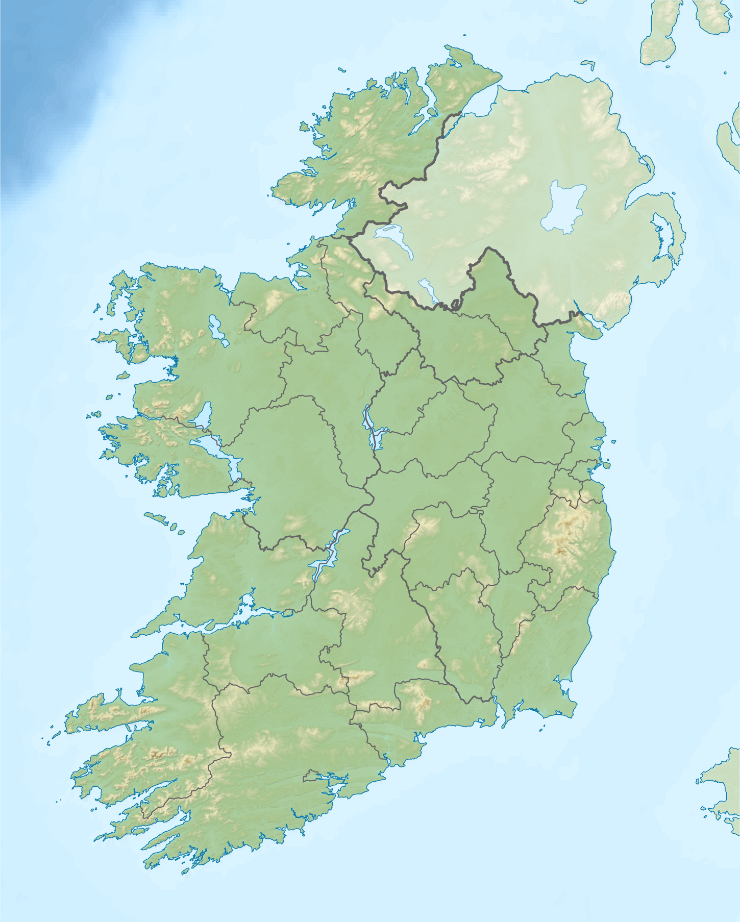
Relief location map of Ireland Equirectangular map projection on WGS 84 datum, with N/S stretched 170% Geographic limits:
|
| ದಿನಾಂಕ | |
| ಆಕರ |
Shuttle Radar Topography Mission
National Geospatial-Intelligence Agency
File:Ireland location map.svg: NordNordWest
|
| ಕರ್ತೃ | Nilfanion |
| ಅನುಮತಿ (ಈ ಕಡತವನ್ನು ಮರುಬಳಕೆ ಮಾಡಲಾಗುತ್ತಿದೆ) |
ಈ ಕಡತ ಕ್ರಿಯೇಟಿವ್ ಕಾಮನ್ಸ್ Attribution
-Share Alike 3.0 Unported ಪರವಾನಗಿ ಹೊಂದಿದೆ.
|
| ಇತರೆ ಆವೃತ್ತಿಗಳು |
.png)

ಕಡತದ ಇತಿಹಾಸ
ದಿನ/ಕಾಲ ಒತ್ತಿದರೆ ಆ ಸಮಯದಲ್ಲಿ ಈ ಕಡತದ ವಸ್ತುಸ್ಥಿತಿ ತೋರುತ್ತದೆ.
| ದಿನ/ಕಾಲ | ಕಿರುನೋಟ | ಆಯಾಮಗಳು | ಬಳಕೆದಾರ | ಟಿಪ್ಪಣಿ | |
|---|---|---|---|---|---|
| ಪ್ರಸಕ್ತ | ೧೪:೦೨, ೨೪ ಆಗಸ್ಟ್ ೨೦೨೦ | | ೧,೪೫೦ × ೧,೮೦೭ (೧.೫೫ MB) | Jacobfrid | Reverted to version as of 12:29, 12 September 2014 (UTC) |
| ೧೭:೪೭, ೨೩ ಆಗಸ್ಟ್ ೨೦೨೦ |  | ೩೨೪ × ೨೮೦ (೯೦ KB) | Jacobfrid | Cropped 78 % horizontally, 85 % vertically using CropTool with precise mode. | |
| ೧೭:೫೯, ೧೨ ಸೆಪ್ಟೆಂಬರ್ ೨೦೧೪ |  | ೧,೪೫೦ × ೧,೮೦೭ (೧.೫೫ MB) | NordNordWest | Local Government Reform Act 2014 | |
| ೦೫:೩೨, ೨೩ ಅಕ್ಟೋಬರ್ ೨೦೧೨ |  | ೧,೪೫೦ × ೧,೮೦೭ (೧.೫೬ MB) | Nilfanion | Fix UK shading nr Londonderry | |
| ೦೪:೧೩, ೧೬ ಏಪ್ರಿಲ್ ೨೦೧೨ |  | ೧,೪೫೦ × ೧,೮೦೭ (೧.೫೬ MB) | Nilfanion | {{Information |Description=Relief map of Ireland Equirectangular map projection on WGS 84 datum, with N/S stretched 170% Geographic limits: *West: 11.0° W *East: 5.0° W *North: 55.6° N *South: 51.2° N |Source= [[w:Shuttle Radar Topo... |
ಕಡತ ಬಳಕೆ
ಈ ಕೆಳಗಿನ ಪುಟವು ಈ ಚಿತ್ರಕ್ಕೆ ಸಂಪರ್ಕ ಹೊಂದಿದೆ:
ಜಾಗತಿಕ ಕಡತ ಉಪಯೋಗ
ಈ ಕಡತವನ್ನು ಕೆಳಗಿನ ಬೇರೆ ವಿಕಿಗಳೂ ಉಪಯೋಗಿಸುತ್ತಿವೆ:
- als.wikipedia.org ಮೇಲೆ ಬಳಕೆ
- am.wikipedia.org ಮೇಲೆ ಬಳಕೆ
- ar.wikipedia.org ಮೇಲೆ ಬಳಕೆ
- ast.wikipedia.org ಮೇಲೆ ಬಳಕೆ
- azb.wikipedia.org ಮೇಲೆ ಬಳಕೆ
- ban.wikipedia.org ಮೇಲೆ ಬಳಕೆ
- ba.wikipedia.org ಮೇಲೆ ಬಳಕೆ
- be-tarask.wikipedia.org ಮೇಲೆ ಬಳಕೆ
- bn.wikipedia.org ಮೇಲೆ ಬಳಕೆ
- br.wikipedia.org ಮೇಲೆ ಬಳಕೆ
- bs.wikipedia.org ಮೇಲೆ ಬಳಕೆ
- bxr.wikipedia.org ಮೇಲೆ ಬಳಕೆ
- ca.wikipedia.org ಮೇಲೆ ಬಳಕೆ
- ceb.wikipedia.org ಮೇಲೆ ಬಳಕೆ
- cs.wikipedia.org ಮೇಲೆ ಬಳಕೆ
- cv.wikipedia.org ಮೇಲೆ ಬಳಕೆ
ಈ ಫೈಲ್ನ ಹೆಚ್ಚು ಜಾಗತಿಕ ಬಳಕೆಯನ್ನು ವೀಕ್ಷಿಸಿ.