ಚಿತ್ರ:Ipswich UK ward map 2010 (blank).svg

Size of this PNG preview of this SVG file: ೬೨೫ × ೬೦೦ ಪಿಕ್ಸೆಲ್ಗಳು. ಇತರ ರೆಸಲ್ಯೂಶನ್ಗಳು: ೨೫೦ × ೨೪೦ ಪಿಕ್ಸೆಲ್ಗಳು | ೫೦೦ × ೪೮೦ ಪಿಕ್ಸೆಲ್ಗಳು | ೮೦೦ × ೭೬೮ ಪಿಕ್ಸೆಲ್ಗಳು | ೧,೦೬೭ × ೧,೦೨೪ ಪಿಕ್ಸೆಲ್ಗಳು | ೨,೧೩೪ × ೨,೦೪೮ ಪಿಕ್ಸೆಲ್ಗಳು | ೧,೩೧೯ × ೧,೨೬೬ ಪಿಕ್ಸೆಲ್ಗಳು.
ಮೂಲ ಕಡತ (SVG ಫೈಲು, ಸುಮಾರಾಗಿ ೧,೩೧೯ × ೧,೨೬೬ ಚಿತ್ರಬಿಂದುಗಳು, ಫೈಲಿನ ಗಾತ್ರ: ೨೧೭ KB)
ಈ ಫೈಲು ವಿಕಿಮೀಡಿಯ ಕಾಮನ್ಸ್ನಲ್ಲಿ ಇರುವುದು. ಅಲ್ಲಿನ ವಿವರಣೆ ಪುಟವನ್ನೇ ಕೆಳಗೆ ತೋರಿಸಲಾಗಿದೆ. ಕಾಮನ್ಸ್ ಕೃತಿಸ್ವಾಮ್ಯತೆಯಿಂದ ಮುಕ್ತ ಫೈಲುಗಳ ಒಂದು ಆಗರ. ಅಲ್ಲಿ ನೀವೂ ಸಹಕರಿಸಬಹುದು. |
.svg)
| ವಿವರ |
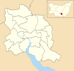
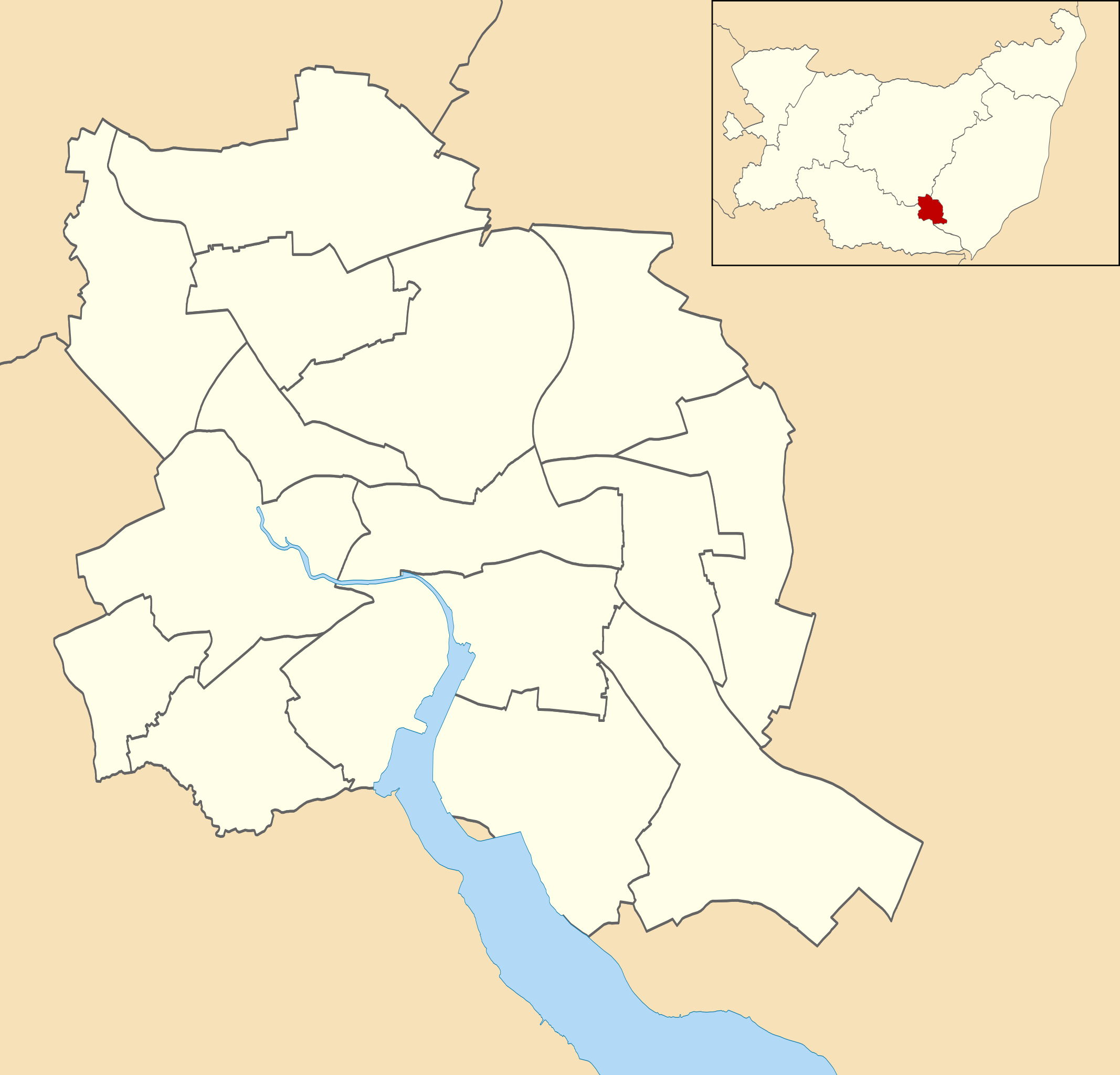
Map of Ipswich, Suffolk, UK with electoral wards shown. Equirectangular map projection on WGS 84 datum, with N/S stretched 160% Geographic limits:
|
| ದಿನಾಂಕ | |
| ಆಕರ |
|
| ಕರ್ತೃ | Nilfanion, created using Ordnance Survey data |
| ಅನುಮತಿ (ಈ ಕಡತವನ್ನು ಮರುಬಳಕೆ ಮಾಡಲಾಗುತ್ತಿದೆ) |
ಈ ಕಡತ ಕ್ರಿಯೇಟಿವ್ ಕಾಮನ್ಸ್ Attribution
-Share Alike 3.0 Unported ಪರವಾನಗಿ ಹೊಂದಿದೆ. ವೈಶಿಷ್ಟ್ಯ: Contains Ordnance Survey data © Crown copyright and database right
|
ಕಡತದ ಇತಿಹಾಸ
ದಿನ/ಕಾಲ ಒತ್ತಿದರೆ ಆ ಸಮಯದಲ್ಲಿ ಈ ಕಡತದ ವಸ್ತುಸ್ಥಿತಿ ತೋರುತ್ತದೆ.
| ದಿನ/ಕಾಲ | ಕಿರುನೋಟ | ಆಯಾಮಗಳು | ಬಳಕೆದಾರ | ಟಿಪ್ಪಣಿ | |
|---|---|---|---|---|---|
| ಪ್ರಸಕ್ತ | ೦೫:೨೫, ೨೫ ಏಪ್ರಿಲ್ ೨೦೧೧ | | ೧,೩೧೯ × ೧,೨೬೬ (೨೧೭ KB) | Nilfanion | {{Information |Description=Map of Ipswich, Suffolk, UK with electoral wards shown. Equirectangular map projection on WGS 84 datum, with N/S stretched 160% Geographic limits: *West: 1.10E *East: 1.25E *North: 52.10N *South: 52.01N |Source=[[w:Ordnance Su |
ಕಡತ ಬಳಕೆ
ಈ ಕೆಳಗಿನ ಪುಟವು ಈ ಚಿತ್ರಕ್ಕೆ ಸಂಪರ್ಕ ಹೊಂದಿದೆ:
ಜಾಗತಿಕ ಕಡತ ಉಪಯೋಗ
ಈ ಕಡತವನ್ನು ಕೆಳಗಿನ ಬೇರೆ ವಿಕಿಗಳೂ ಉಪಯೋಗಿಸುತ್ತಿವೆ:
- ar.wikipedia.org ಮೇಲೆ ಬಳಕೆ
- en.wikipedia.org ಮೇಲೆ ಬಳಕೆ
- Ipswich Airport
- St Pancras Church, Ipswich
- St Mary at Stoke
- St Mary-at-the-Quay Church, Ipswich
- St Mark, Ipswich
- St Mary, Woodbridge Road
- Mary Magdalen, Ipswich
- Module:Location map/data/United Kingdom Ipswich/doc
- Ipswich Blackfriars
- List of electoral wards in Suffolk
- Module:Location map/data/United Kingdom Ipswich
- St Peter's Church, Ipswich
- St Margaret's Church, Ipswich
- User:Chelston-temp-1/List of electoral wards in Suffolk
- St Helen's Church, Ipswich
- St Matthew's Church, Ipswich
- fa.wikipedia.org ಮೇಲೆ ಬಳಕೆ
- fr.wikipedia.org ಮೇಲೆ ಬಳಕೆ
- si.wikipedia.org ಮೇಲೆ ಬಳಕೆ
- tr.wikipedia.org ಮೇಲೆ ಬಳಕೆ
.svg)