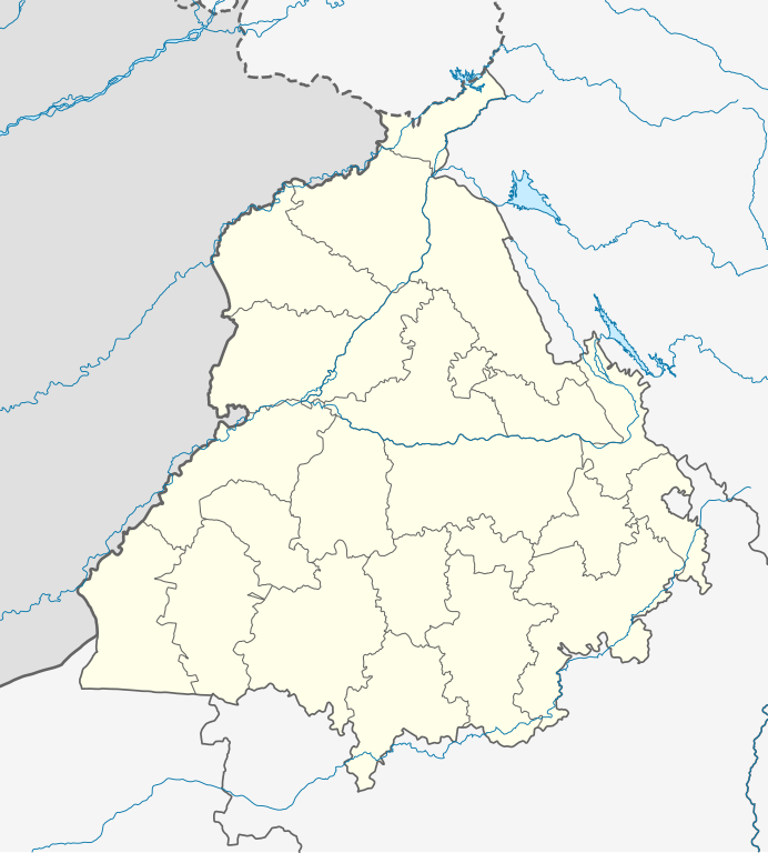
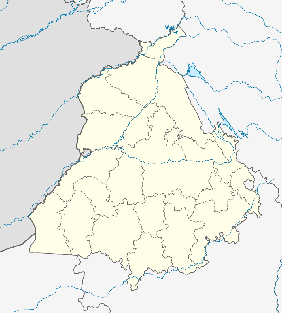
ಚಿತ್ರ:India Punjab location map.svg

ಮೂಲ ಕಡತ (SVG ಫೈಲು, ಸುಮಾರಾಗಿ ೯೭೯ × ೧,೦೮೬ ಚಿತ್ರಬಿಂದುಗಳು, ಫೈಲಿನ ಗಾತ್ರ: ೩೧೧ KB)
ಈ ಫೈಲು ವಿಕಿಮೀಡಿಯ ಕಾಮನ್ಸ್ನಲ್ಲಿ ಇರುವುದು. ಅಲ್ಲಿನ ವಿವರಣೆ ಪುಟವನ್ನೇ ಕೆಳಗೆ ತೋರಿಸಲಾಗಿದೆ. ಕಾಮನ್ಸ್ ಕೃತಿಸ್ವಾಮ್ಯತೆಯಿಂದ ಮುಕ್ತ ಫೈಲುಗಳ ಒಂದು ಆಗರ. ಅಲ್ಲಿ ನೀವೂ ಸಹಕರಿಸಬಹುದು. |
ಸಾರಾಂಶ
| ವಿವರ |
Quadratische Plattkarte, N-S-Streckung 117 %. Geographische Begrenzung der Karte:
Equirectangular projection, N/S stretching 117 %. Geographic limits of the map:
|
|
| ದಿನಾಂಕ | ||
| ಆಕರ |
ಸ್ವಂತ ಕೆಲಸ, using
|
|
| ಕರ್ತೃ | NordNordWest | |
| ಅನುಮತಿ (ಈ ಕಡತವನ್ನು ಮರುಬಳಕೆ ಮಾಡಲಾಗುತ್ತಿದೆ) |
This file is licensed under the Creative Commons Attribution-Share Alike 3.0 Germany license.
 This file is licensed under the Creative Commons Attribution-Share Alike 3.0 Germany license.
|


|
This map has been made or improved in the German Kartenwerkstatt (Map Lab). You can propose maps to improve as well.
|
ಕಡತದ ಇತಿಹಾಸ
ದಿನ/ಕಾಲ ಒತ್ತಿದರೆ ಆ ಸಮಯದಲ್ಲಿ ಈ ಕಡತದ ವಸ್ತುಸ್ಥಿತಿ ತೋರುತ್ತದೆ.
| ದಿನ/ಕಾಲ | ಕಿರುನೋಟ | ಆಯಾಮಗಳು | ಬಳಕೆದಾರ | ಟಿಪ್ಪಣಿ | |
|---|---|---|---|---|---|
| ಪ್ರಸಕ್ತ | ೦೯:೪೯, ೧೯ ಆಗಸ್ಟ್ ೨೦೨೨ | | ೯೭೯ × ೧,೦೮೬ (೩೧೧ KB) | C1MM | Fixed Ludhiana district |
| ೦೯:೩೩, ೧೯ ಆಗಸ್ಟ್ ೨೦೨೨ |  | ೯೭೯ × ೧,೦೮೬ (೩೧೨ KB) | C1MM | Resized to original size | |
| ೦೯:೨೭, ೧೯ ಆಗಸ್ಟ್ ೨೦೨೨ |  | ೯೫೧ × ೮೯೮ (೩೨೪ KB) | C1MM | Added Malerkotla district, fixed rivers and disputed boundaries for Jammu and Kashmir | |
| ೦೮:೫೩, ೧೫ ಜನವರಿ ೨೦೨೧ |  | ೧,೦೪೯ × ೧,೧೬೧ (೧೧೪ KB) | C1MM | Added Tan Taran district | |
| ೨೩:೪೧, ೨೪ ಅಕ್ಟೋಬರ್ ೨೦೨೦ |  | ೧,೦೪೯ × ೧,೧೬೧ (೧೧೦ KB) | C1MM | Updated districts | |
| ೨೩:೧೧, ೪ ಮೇ ೨೦೧೨ |  | ೧,೦೪೯ × ೧,೧೬೧ (೧೦೭ KB) | NordNordWest | upd | |
| ೦೧:೫೪, ೨೦ ಮೇ ೨೦೧೦ |  | ೧,೦೪೯ × ೧,೧೬೧ (೧೦೪ KB) | NordNordWest | c | |
| ೦೧:೪೧, ೨೦ ಮೇ ೨೦೧೦ |  | ೧,೦೪೯ × ೧,೧೬೧ (೧೦೫ KB) | NordNordWest | =={{int:filedesc}}== {{Information |Description= {{de|Positionskarte von Punjab, Indien}} Quadratische Plattkarte, N-S-Streckung 117 %. Geographische Begrenzung der Karte: * N: 32.8° N * S: 29.3° N * W: 73.5° O * |
ಕಡತ ಬಳಕೆ
ಈ ಕೆಳಗಿನ ಪುಟವು ಈ ಚಿತ್ರಕ್ಕೆ ಸಂಪರ್ಕ ಹೊಂದಿದೆ:
ಜಾಗತಿಕ ಕಡತ ಉಪಯೋಗ
ಈ ಕಡತವನ್ನು ಕೆಳಗಿನ ಬೇರೆ ವಿಕಿಗಳೂ ಉಪಯೋಗಿಸುತ್ತಿವೆ:
- ar.wikipedia.org ಮೇಲೆ ಬಳಕೆ
- as.wikipedia.org ಮೇಲೆ ಬಳಕೆ
- azb.wikipedia.org ಮೇಲೆ ಬಳಕೆ
- علیپور-۲
- علیپور-۱
- علی چاک
- علادینپور
- علیخل، جالاندر
- فول ماکاوری
- فیالی (هیندوستان)
- فاروالا, جالاندهار
- فارالا
- فانقوتا
- فامبرا
- فالپوتا
- ساروپوال
- ساروپوال, سولطانپور لودهی
- سارتی, قورداسپور
- سارنانا
- سارینه, لودهیانا
- سارینه, جالاندهار
- سارهالی
- سارهالی, جالاندهار
- سارهال کازیان
- سارهال موندی
- سارقوندی
- سارانقوال
- سارانقرا
- سارای خاس
- سارای خام
- سارای جاتان
- ساپرور
- مدا, پنجاب
- مازاری, اسبیاس ناقار
- مازارا ناو آباد
- مازارا خورد
- مازارا کالان
- سانورا
- ماوای, جالاندهار
- ماولی, فاقوارا
- ماوجیا
- ماو, پنجاب
- ماتوی, پنجاب
- سانقرای
- سانقرا, سولطانپور لودهی
- سانقووال
- سانقوجلا
- سانقول
- سانقرا (کند)
ಈ ಫೈಲ್ನ ಹೆಚ್ಚು ಜಾಗತಿಕ ಬಳಕೆಯನ್ನು ವೀಕ್ಷಿಸಿ.