ಚಿತ್ರ:Ile-de-France region location map.svg

Size of this PNG preview of this SVG file: ೭೪೨ × ೬೦೦ ಪಿಕ್ಸೆಲ್ಗಳು. ಇತರ ರೆಸಲ್ಯೂಶನ್ಗಳು: ೨೯೭ × ೨೪೦ ಪಿಕ್ಸೆಲ್ಗಳು | ೫೯೪ × ೪೮೦ ಪಿಕ್ಸೆಲ್ಗಳು | ೯೫೧ × ೭೬೮ ಪಿಕ್ಸೆಲ್ಗಳು | ೧,೨೬೭ × ೧,೦೨೪ ಪಿಕ್ಸೆಲ್ಗಳು | ೨,೫೩೫ × ೨,೦೪೮ ಪಿಕ್ಸೆಲ್ಗಳು | ೧,೬೫೧ × ೧,೩೩೪ ಪಿಕ್ಸೆಲ್ಗಳು.
ಮೂಲ ಕಡತ (SVG ಫೈಲು, ಸುಮಾರಾಗಿ ೧,೬೫೧ × ೧,೩೩೪ ಚಿತ್ರಬಿಂದುಗಳು, ಫೈಲಿನ ಗಾತ್ರ: ೯೪೪ KB)
ಈ ಫೈಲು ವಿಕಿಮೀಡಿಯ ಕಾಮನ್ಸ್ನಲ್ಲಿ ಇರುವುದು. ಅಲ್ಲಿನ ವಿವರಣೆ ಪುಟವನ್ನೇ ಕೆಳಗೆ ತೋರಿಸಲಾಗಿದೆ. ಕಾಮನ್ಸ್ ಕೃತಿಸ್ವಾಮ್ಯತೆಯಿಂದ ಮುಕ್ತ ಫೈಲುಗಳ ಒಂದು ಆಗರ. ಅಲ್ಲಿ ನೀವೂ ಸಹಕರಿಸಬಹುದು. |
ಸಾರಾಂಶ
| Camera location | | View this and other nearby images on: OpenStreetMap |
|---|
| ವಿವರ |
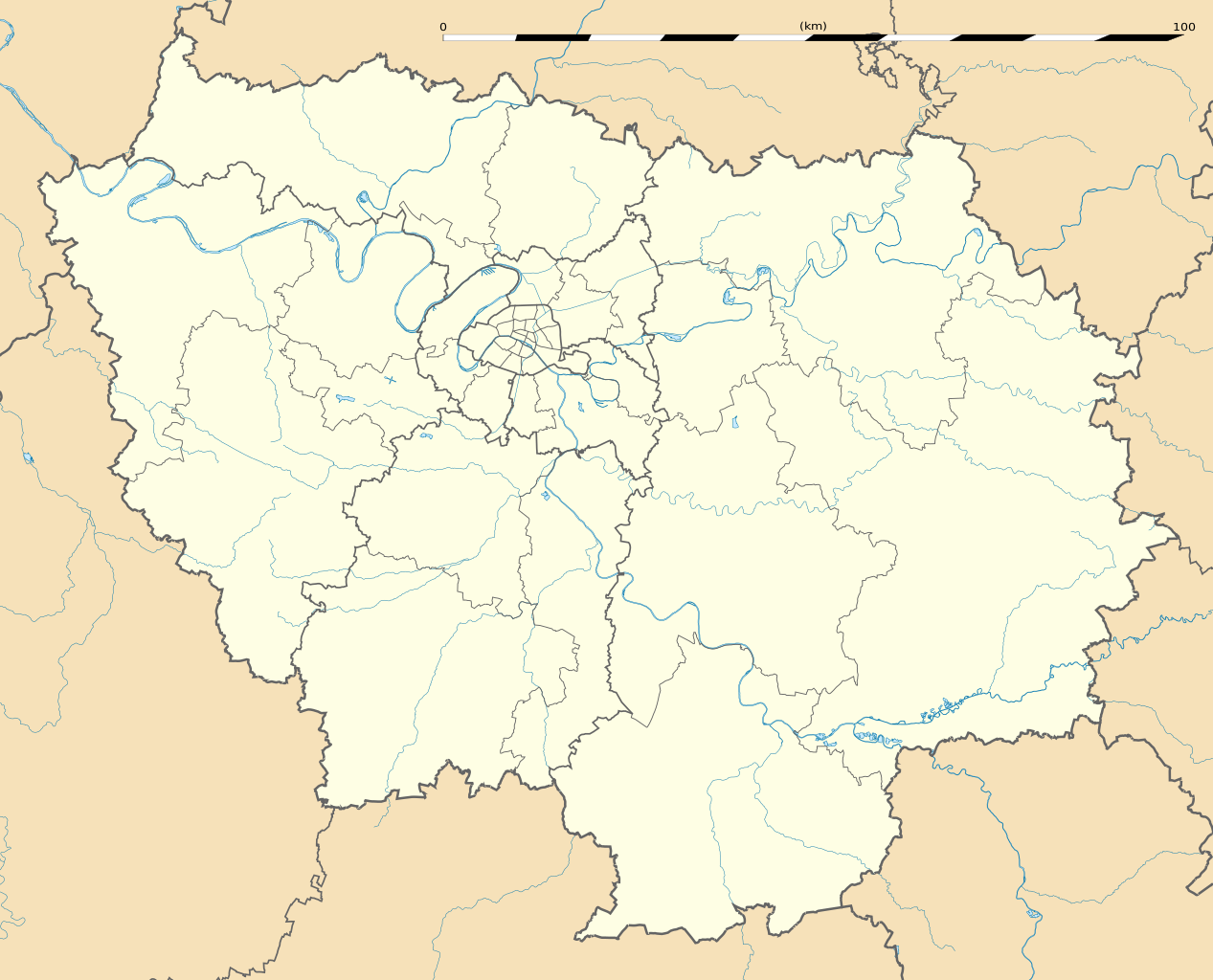
English: Blank administrative map of the region of Île-de-France, France, as in January 2015, for geo-location purpose, with distinct boundaries for regions, departments and arrondissements.
Français : Carte administrative vierge de la région Île-de-France, France, telle qu'en janvier 2015, destinée à la géolocalisation, avec limite distincte des régions, départements et arrondissements. Estimated scale: 1:400,000 (precision: 100 m)
Geographic limits of the map:
|
||
| ದಿನಾಂಕ | |||
| ಆಕರ |
ಸ್ವಂತ ಕೆಲಸ
|
||
| ಕರ್ತೃ | Eric Gaba (Sting - fr:Sting) | ||
| ಅನುಮತಿ (ಈ ಕಡತವನ್ನು ಮರುಬಳಕೆ ಮಾಡಲಾಗುತ್ತಿದೆ) |
|
||
| ಇತರೆ ಆವೃತ್ತಿಗಳು |
|

ಪರವಾನಗಿ
Eric Gaba, Wikimedia Commons user Sting, the copyright holder of this work, hereby publishes it under the following license:
ಈ ಕಡತ ಕ್ರಿಯೇಟಿವ್ ಕಾಮನ್ಸ್ Attribution
-Share Alike 3.0 Unported ಪರವಾನಗಿ ಹೊಂದಿದೆ.
ವೈಶಿಷ್ಟ್ಯ: Eric Gaba, Wikimedia Commons user Sting
- ನೀವು ಮುಕ್ತ:
- ಹಂಚಿಕೆಗೆ – ಕೆಲಸವನ್ನು ನಕಲು ಮಾಡಲು, ವಿತರಣೆ ಮತ್ತು ಸಾಗಿಸಲು
- ರೀಮಿಕ್ಸ್ ಮಾಡಲು – ಕೆಲಸವನ್ನು ಬಳಸಿಕೊಳ್ಳಲು
- ಈ ಕೆಳಗಿನ ಷರತ್ತುಗಳಲ್ಲಿ:
- ವೈಶಿಷ್ಟ್ಯ – ನೀವು ಸೂಕ್ತವಾದ ಕ್ರೆಡಿಟ್ ನೀಡಬೇಕು, ಪರವಾನಗಿಗೆ ಲಿಂಕ್ ಅನ್ನು ಒದಗಿಸಬೇಕು ಮತ್ತು ಯಾವುದೇ ಬದಲಾವಣೆಗಳನ್ನು ಮಾಡಿದ್ದರೆ ಸೂಚಿಸಬೇಕು. ನೀವು ಯಾವುದೇ ಸಮಂಜಸವಾದ ರೀತಿಯಲ್ಲಿ ಮಾಡಬಹುದು, ಆದರೆ ಪರವಾನಗಿದಾರರು ನಿಮ್ಮನ್ನು ಅಥವಾ ನಿಮ್ಮ ಯಾವುದೇ ಬಳಕೆಯನ್ನು ಅನುಮೋದಿಸಿದಂತೆ ರೀತಿಯಲ್ಲಿ ಉಪಯೋಗಿಸಬಾರದು.
- ಇರುವುದರಂತೆಯೇ ಹಂಚು – ನೀವು ರೀಮಿಕ್ಸ್ ಮಾಡಿದರೆ, ರೂಪಾಂತರಗೊಳಿಸಿದರೆ ಅಥವಾ ವಸ್ತುವಿನ ಮೇಲೆ ನಿರ್ಮಿಸಿದರೆ, ನಿಮ್ಮ ಕೊಡುಗೆಗಳನ್ನು ನೀವು ಮೂಲದಂತೆ ಅದೇ ಅಥವಾ ಹೊಂದಾಣಿಕೆಯ ಪರವಾನಗಿ ಅಡಿಯಲ್ಲಿ ವಿತರಿಸಬೇಕು.
ಕಡತದ ಇತಿಹಾಸ
ದಿನ/ಕಾಲ ಒತ್ತಿದರೆ ಆ ಸಮಯದಲ್ಲಿ ಈ ಕಡತದ ವಸ್ತುಸ್ಥಿತಿ ತೋರುತ್ತದೆ.
| ದಿನ/ಕಾಲ | ಕಿರುನೋಟ | ಆಯಾಮಗಳು | ಬಳಕೆದಾರ | ಟಿಪ್ಪಣಿ | |
|---|---|---|---|---|---|
| ಪ್ರಸಕ್ತ | ೨೦:೫೧, ೧೨ ಫೆಬ್ರವರಿ ೨೦೧೫ | | ೧,೬೫೧ × ೧,೩೩೪ (೯೪೪ KB) | Sting | Boundaries correction |
| ೨೧:೫೫, ೨೨ ಜನವರಿ ೨೦೧೫ |  | ೧,೬೫೧ × ೧,೩೩೪ (೯೪೫ KB) | Sting | Boundaries correction | |
| ೧೯:೩೩, ೨೧ ಜನವರಿ ೨೦೧೫ |  | ೧,೬೫೧ × ೧,೩೩೪ (೯೪೩ KB) | Sting | == {{int:filedesc}} == {{Location|48|40|30|N|02|30|00|E|scale:1000000}} {{Information |Description={{en|Blank administrative map of the region of Île-de-France, France, as in January 2015, for geo-location purpose, with distinct... |
ಕಡತ ಬಳಕೆ
ಈ ಕೆಳಗಿನ ಪುಟವು ಈ ಚಿತ್ರಕ್ಕೆ ಸಂಪರ್ಕ ಹೊಂದಿದೆ:
ಜಾಗತಿಕ ಕಡತ ಉಪಯೋಗ
ಈ ಕಡತವನ್ನು ಕೆಳಗಿನ ಬೇರೆ ವಿಕಿಗಳೂ ಉಪಯೋಗಿಸುತ್ತಿವೆ:
- af.wikipedia.org ಮೇಲೆ ಬಳಕೆ
- als.wikipedia.org ಮೇಲೆ ಬಳಕೆ
- ast.wikipedia.org ಮೇಲೆ ಬಳಕೆ
- azb.wikipedia.org ಮೇಲೆ ಬಳಕೆ
- پاریس
- ارژانتوی
- کولومب فرانسه
- کوربوآ
- ورسای
- کرتی
- ویتری-سور-سن
- سرژی
- لوالوآ-پره
- ایسی-له-مولینو
- سن-مر-د-فوسه
- روی ملمزون
- اپینه-سور-سن
- اتی مون
- اوی، ایولین
- ایوری-سور-سن
- آلفورویل
- برتینی-سور-ارژ
- برونوآ
- بری-سور-مرن
- بنیوله
- بوآ-کلمب
- بوبینی
- بوندی
- پلزو
- پونتوآز
- پیروفیت سور سن
- ترامبله آنفرانس
- دروی
- دمری للیس
- دوی لبر
- روزنی سو بوآ
- ری اورانژی
- ژنویلیه
- ژیف سور ایوت
- سن-مانده
- سن ژرمن آن له
- سن کلو
- سن میشل سور اورژ
- سورزن
- سوینیی سور اورژ
- شاتنه-ملبری
- شام سور مرن
- شتو
- شرانتون-لو-پون
ಈ ಫೈಲ್ನ ಹೆಚ್ಚು ಜಾಗತಿಕ ಬಳಕೆಯನ್ನು ವೀಕ್ಷಿಸಿ.