ಚಿತ್ರ:Equatorial Guinea location map.svg

Size of this PNG preview of this SVG file: ೬೨೮ × ೬೦೦ ಪಿಕ್ಸೆಲ್ಗಳು. ಇತರ ರೆಸಲ್ಯೂಶನ್ಗಳು: ೨೫೧ × ೨೪೦ ಪಿಕ್ಸೆಲ್ಗಳು | ೫೦೩ × ೪೮೦ ಪಿಕ್ಸೆಲ್ಗಳು | ೮೦೪ × ೭೬೮ ಪಿಕ್ಸೆಲ್ಗಳು | ೧,೦೭೨ × ೧,೦೨೪ ಪಿಕ್ಸೆಲ್ಗಳು | ೨,೧೪೪ × ೨,೦೪೮ ಪಿಕ್ಸೆಲ್ಗಳು | ೧,೦೯೧ × ೧,೦೪೨ ಪಿಕ್ಸೆಲ್ಗಳು.
ಮೂಲ ಕಡತ (SVG ಫೈಲು, ಸುಮಾರಾಗಿ ೧,೦೯೧ × ೧,೦೪೨ ಚಿತ್ರಬಿಂದುಗಳು, ಫೈಲಿನ ಗಾತ್ರ: ೧೫೫ KB)
ಈ ಫೈಲು ವಿಕಿಮೀಡಿಯ ಕಾಮನ್ಸ್ನಲ್ಲಿ ಇರುವುದು. ಅಲ್ಲಿನ ವಿವರಣೆ ಪುಟವನ್ನೇ ಕೆಳಗೆ ತೋರಿಸಲಾಗಿದೆ. ಕಾಮನ್ಸ್ ಕೃತಿಸ್ವಾಮ್ಯತೆಯಿಂದ ಮುಕ್ತ ಫೈಲುಗಳ ಒಂದು ಆಗರ. ಅಲ್ಲಿ ನೀವೂ ಸಹಕರಿಸಬಹುದು. |
ಸಾರಾಂಶ
| ವಿವರ |
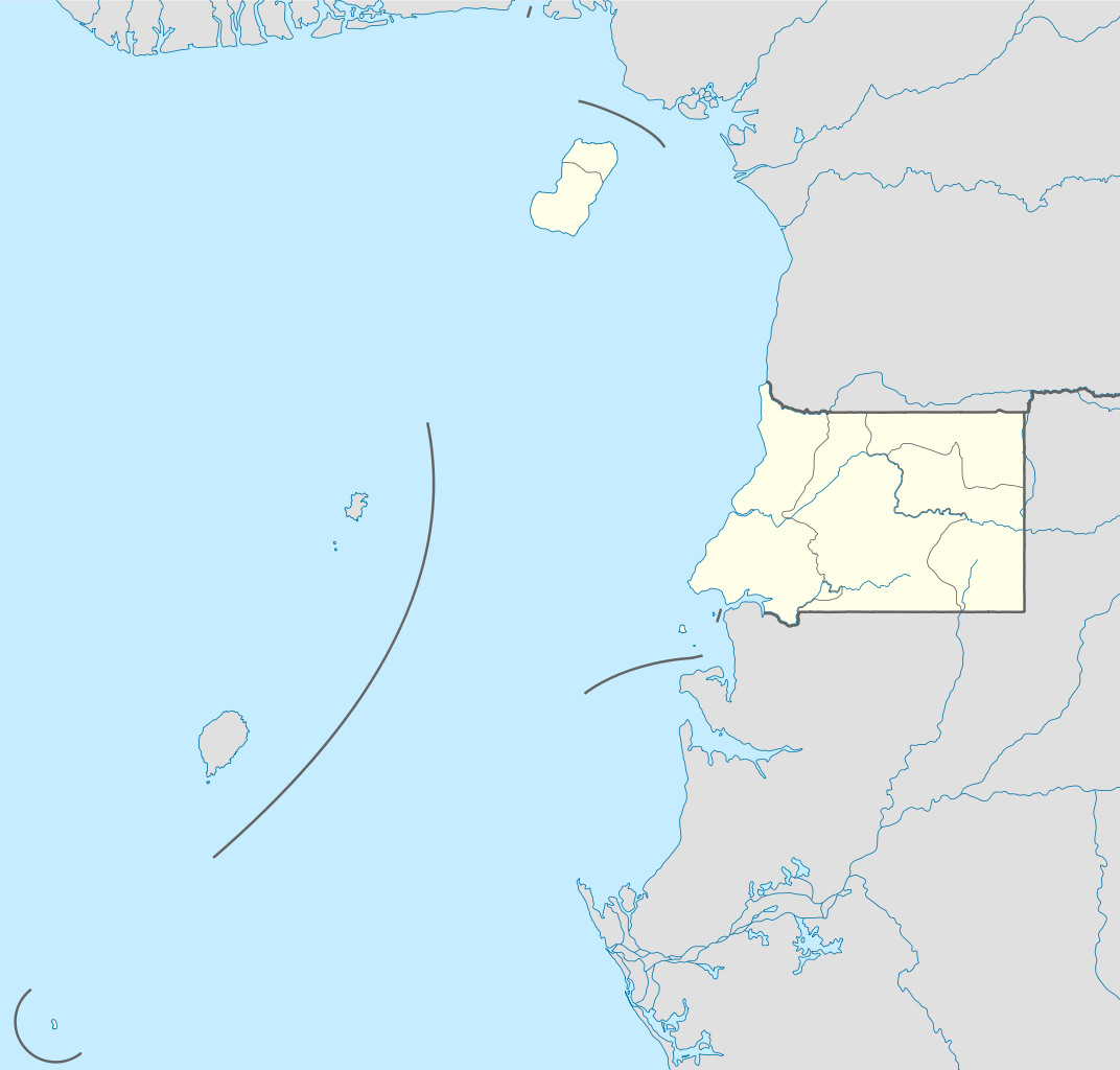
Deutsch: Positionskarte von Äquatorialguinea
Quadratische Plattkarte. Geographische Begrenzung der Karte:
English: Location map of Equatorial Guinea
Equirectangular projection. Geographic limits of the map:
|
| ದಿನಾಂಕ | |
| ಆಕರ |
own work, using
|
| ಕರ್ತೃ | NordNordWest |

|
This map has been made or improved in the German Kartenwerkstatt (Map Lab). You can propose maps to improve as well.
|
ಪರವಾನಗಿ
I, the copyright holder of this work, hereby publish it under the following licenses:

|
GNU ಉಚಿತ ಡಾಕ್ಯುಮೆಂಟೇಶನ್ ಪರವಾನಗಿ, ಆವೃತ್ತಿಯ ನಿಯಮಗಳ ಅಡಿಯಲ್ಲಿ ಈ ಡಾಕ್ಯುಮೆಂಟ್ ಅನ್ನು ನಕಲಿಸಲು, ವಿತರಿಸಲು ಮತ್ತು/ಅಥವಾ ಮಾರ್ಪಡಿಸಲು ಅನುಮತಿಯನ್ನು ನೀಡಲಾಗಿದೆ. 1.2 ಅಥವಾ ಯಾವುದೇ ನಂತರದ ಆವೃತ್ತಿಯನ್ನು ಉಚಿತ ಸಾಫ್ಟ್ವೇರ್ ಫೌಂಡೇಶನ್ ಪ್ರಕಟಿಸಿದೆ; ಯಾವುದೇ ಅಸ್ಥಿರ ವಿಭಾಗಗಳಿಲ್ಲದೆ, ಮುಖ ಪಠ್ಯಗಳಿಲ್ಲ ಮತ್ತು ಹಿಂದಿನ ಕವರ್ ಪಠ್ಯಗಳಿಲ್ಲ. ಪರವಾನಗಿಯ ಪ್ರತಿಯನ್ನು GNU ಉಚಿತ ಡಾಕ್ಯುಮೆಂಟೇಶನ್ ಪರವಾನಗಿ ಎಂಬ ವಿಭಾಗದಲ್ಲಿ ಸೇರಿಸಲಾಗಿದೆ. |
ಈ ಕಡತ ಕ್ರಿಯೇಟಿವ್ ಕಾಮನ್ಸ್ Attribution
-Share Alike 3.0 Unported ಪರವಾನಗಿ ಹೊಂದಿದೆ.
- ನೀವು ಮುಕ್ತ:
- ಹಂಚಿಕೆಗೆ – ಕೆಲಸವನ್ನು ನಕಲು ಮಾಡಲು, ವಿತರಣೆ ಮತ್ತು ಸಾಗಿಸಲು
- ರೀಮಿಕ್ಸ್ ಮಾಡಲು – ಕೆಲಸವನ್ನು ಬಳಸಿಕೊಳ್ಳಲು
- ಈ ಕೆಳಗಿನ ಷರತ್ತುಗಳಲ್ಲಿ:
- ವೈಶಿಷ್ಟ್ಯ – ನೀವು ಸೂಕ್ತವಾದ ಕ್ರೆಡಿಟ್ ನೀಡಬೇಕು, ಪರವಾನಗಿಗೆ ಲಿಂಕ್ ಅನ್ನು ಒದಗಿಸಬೇಕು ಮತ್ತು ಯಾವುದೇ ಬದಲಾವಣೆಗಳನ್ನು ಮಾಡಿದ್ದರೆ ಸೂಚಿಸಬೇಕು. ನೀವು ಯಾವುದೇ ಸಮಂಜಸವಾದ ರೀತಿಯಲ್ಲಿ ಮಾಡಬಹುದು, ಆದರೆ ಪರವಾನಗಿದಾರರು ನಿಮ್ಮನ್ನು ಅಥವಾ ನಿಮ್ಮ ಯಾವುದೇ ಬಳಕೆಯನ್ನು ಅನುಮೋದಿಸಿದಂತೆ ರೀತಿಯಲ್ಲಿ ಉಪಯೋಗಿಸಬಾರದು.
- ಇರುವುದರಂತೆಯೇ ಹಂಚು – ನೀವು ರೀಮಿಕ್ಸ್ ಮಾಡಿದರೆ, ರೂಪಾಂತರಗೊಳಿಸಿದರೆ ಅಥವಾ ವಸ್ತುವಿನ ಮೇಲೆ ನಿರ್ಮಿಸಿದರೆ, ನಿಮ್ಮ ಕೊಡುಗೆಗಳನ್ನು ನೀವು ಮೂಲದಂತೆ ಅದೇ ಅಥವಾ ಹೊಂದಾಣಿಕೆಯ ಪರವಾನಗಿ ಅಡಿಯಲ್ಲಿ ವಿತರಿಸಬೇಕು.
ನಿಮ್ಮಿಚ್ಛೆಯ ಪರವಾನಗಿಯನ್ನು ನೀವು ಆರಿಸಿಕೊಳ್ಳಬಹುದು.
ಕಡತದ ಇತಿಹಾಸ
ದಿನ/ಕಾಲ ಒತ್ತಿದರೆ ಆ ಸಮಯದಲ್ಲಿ ಈ ಕಡತದ ವಸ್ತುಸ್ಥಿತಿ ತೋರುತ್ತದೆ.
| ದಿನ/ಕಾಲ | ಕಿರುನೋಟ | ಆಯಾಮಗಳು | ಬಳಕೆದಾರ | ಟಿಪ್ಪಣಿ | |
|---|---|---|---|---|---|
| ಪ್ರಸಕ್ತ | ೧೫:೦೪, ೭ ನವೆಂಬರ್ ೨೦೧೧ | | ೧,೦೯೧ × ೧,೦೪೨ (೧೫೫ KB) | NordNordWest | upd |
| ೨೦:೫೭, ೨೩ ಅಕ್ಟೋಬರ್ ೨೦೧೧ |  | ೧,೦೯೧ × ೧,೦೪೨ (೧೫೪ KB) | NordNordWest | another mistake fixed | |
| ೨೦:೪೯, ೨೩ ಅಕ್ಟೋಬರ್ ೨೦೧೧ |  | ೧,೦೯೧ × ೧,೦೪೨ (೧೫೪ KB) | NordNordWest | corrected | |
| ೧೬:೨೧, ೨೩ ಅಕ್ಟೋಬರ್ ೨೦೧೧ |  | ೧,೦೯೩ × ೧,೦೪೨ (೨೩೬ KB) | Waldyrious | If the colors are wrong, just fix them. Don't revert all the other handcrafted cleanup and structural improvements in the process. | |
| ೨೨:೦೫, ೨೨ ಅಕ್ಟೋಬರ್ ೨೦೧೧ |  | ೧,೦೯೩ × ೧,೦೪೨ (೨೫೦ KB) | NordNordWest | wrong colours | |
| ೨೧:೦೭, ೨೨ ಅಕ್ಟೋಬರ್ ೨೦೧೧ |  | ೧,೦೯೩ × ೧,೦೪೨ (೨೩೬ KB) | Waldyrious | cleanup & structure | |
| ೨೨:೧೬, ೧೪ ನವೆಂಬರ್ ೨೦೦೮ |  | ೧,೦೯೩ × ೧,೦೪೨ (೨೫೦ KB) | NordNordWest | corrected | |
| ೨೨:೧೪, ೧೪ ನವೆಂಬರ್ ೨೦೦೮ |  | ೧,೧೧೬ × ೧,೦೪೨ (೨೫೦ KB) | NordNordWest | {{Information |Description= {{de|Positionskarte von Äquatorialguinea}} Quadratische Plattkarte. Geographische Begrenzung der Karte: * N: 4.6° N * S: 1.7° S * W: 5.3° O * O: 11.9° O {{en|Location map of [[:en:Equatorial Guine |
ಕಡತ ಬಳಕೆ
ಈ ಕೆಳಗಿನ ಪುಟವು ಈ ಚಿತ್ರಕ್ಕೆ ಸಂಪರ್ಕ ಹೊಂದಿದೆ:
ಜಾಗತಿಕ ಕಡತ ಉಪಯೋಗ
ಈ ಕಡತವನ್ನು ಕೆಳಗಿನ ಬೇರೆ ವಿಕಿಗಳೂ ಉಪಯೋಗಿಸುತ್ತಿವೆ:
- af.wikipedia.org ಮೇಲೆ ಬಳಕೆ
- am.wikipedia.org ಮೇಲೆ ಬಳಕೆ
- ar.wikipedia.org ಮೇಲೆ ಬಳಕೆ
- be-tarask.wikipedia.org ಮೇಲೆ ಬಳಕೆ
- bg.wikipedia.org ಮೇಲೆ ಬಳಕೆ
- bn.wikipedia.org ಮೇಲೆ ಬಳಕೆ
- bs.wikipedia.org ಮೇಲೆ ಬಳಕೆ
- ckb.wikipedia.org ಮೇಲೆ ಬಳಕೆ
- el.wikipedia.org ಮೇಲೆ ಬಳಕೆ
- es.wikipedia.org ಮೇಲೆ ಬಳಕೆ
- eu.wikipedia.org ಮೇಲೆ ಬಳಕೆ
- fa.wikipedia.org ಮೇಲೆ ಬಳಕೆ
- fr.wikipedia.org ಮೇಲೆ ಬಳಕೆ
- he.wikivoyage.org ಮೇಲೆ ಬಳಕೆ
- kaa.wikipedia.org ಮೇಲೆ ಬಳಕೆ
- kbd.wikipedia.org ಮೇಲೆ ಬಳಕೆ
- ko.wikipedia.org ಮೇಲೆ ಬಳಕೆ
- ku.wikipedia.org ಮೇಲೆ ಬಳಕೆ
- mk.wikipedia.org ಮೇಲೆ ಬಳಕೆ
- ml.wikipedia.org ಮೇಲೆ ಬಳಕೆ
- mr.wikipedia.org ಮೇಲೆ ಬಳಕೆ
- ms.wikipedia.org ಮೇಲೆ ಬಳಕೆ
- pa.wikipedia.org ಮೇಲೆ ಬಳಕೆ
- pl.wikipedia.org ಮೇಲೆ ಬಳಕೆ
ಈ ಫೈಲ್ನ ಹೆಚ್ಚು ಜಾಗತಿಕ ಬಳಕೆಯನ್ನು ವೀಕ್ಷಿಸಿ.