ಚಿತ್ರ:Bridgend UK location map.svg

Size of this PNG preview of this SVG file: ೬೦೩ × ೬೦೦ ಪಿಕ್ಸೆಲ್ಗಳು. ಇತರ ರೆಸಲ್ಯೂಶನ್ಗಳು: ೨೪೧ × ೨೪೦ ಪಿಕ್ಸೆಲ್ಗಳು | ೪೮೩ × ೪೮೦ ಪಿಕ್ಸೆಲ್ಗಳು | ೭೭೨ × ೭೬೮ ಪಿಕ್ಸೆಲ್ಗಳು | ೧,೦೩೦ × ೧,೦೨೪ ಪಿಕ್ಸೆಲ್ಗಳು | ೨,೦೫೯ × ೨,೦೪೮ ಪಿಕ್ಸೆಲ್ಗಳು | ೧,೨೭೩ × ೧,೨೬೬ ಪಿಕ್ಸೆಲ್ಗಳು.
ಮೂಲ ಕಡತ (SVG ಫೈಲು, ಸುಮಾರಾಗಿ ೧,೨೭೩ × ೧,೨೬೬ ಚಿತ್ರಬಿಂದುಗಳು, ಫೈಲಿನ ಗಾತ್ರ: ೫೪೧ KB)
ಈ ಫೈಲು ವಿಕಿಮೀಡಿಯ ಕಾಮನ್ಸ್ನಲ್ಲಿ ಇರುವುದು. ಅಲ್ಲಿನ ವಿವರಣೆ ಪುಟವನ್ನೇ ಕೆಳಗೆ ತೋರಿಸಲಾಗಿದೆ. ಕಾಮನ್ಸ್ ಕೃತಿಸ್ವಾಮ್ಯತೆಯಿಂದ ಮುಕ್ತ ಫೈಲುಗಳ ಒಂದು ಆಗರ. ಅಲ್ಲಿ ನೀವೂ ಸಹಕರಿಸಬಹುದು. |
| ವಿವರ |
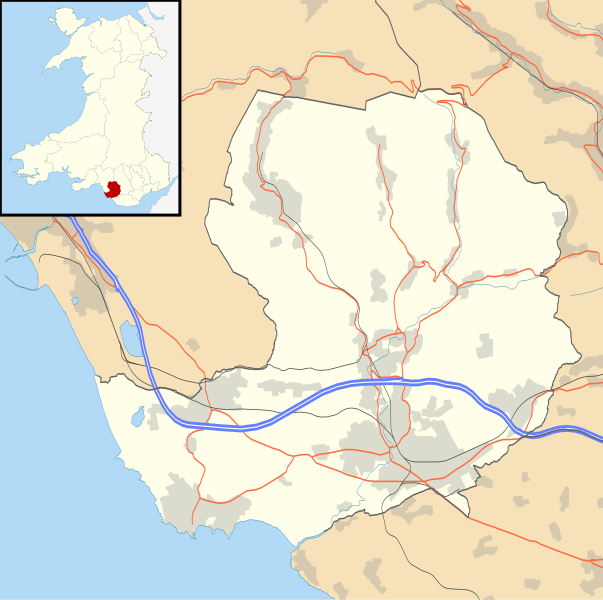
Blank map of Bridgend, UK with the following information shown:
Equirectangular map projection on WGS 84 datum, with N/S stretched 160% Geographic limits:
|
| ದಿನಾಂಕ | |
| ಆಕರ |
|
| ಕರ್ತೃ | Nilfanion, created using Ordnance Survey data |
| ಅನುಮತಿ (ಈ ಕಡತವನ್ನು ಮರುಬಳಕೆ ಮಾಡಲಾಗುತ್ತಿದೆ) |
ಈ ಕಡತ ಕ್ರಿಯೇಟಿವ್ ಕಾಮನ್ಸ್ Attribution
-Share Alike 3.0 Unported ಪರವಾನಗಿ ಹೊಂದಿದೆ. ವೈಶಿಷ್ಟ್ಯ: Contains Ordnance Survey data © Crown copyright and database right
|
| ಇತರೆ ಆವೃತ್ತಿಗಳು | File:Bridgend UK map.svg - Blank map |
ಕಡತದ ಇತಿಹಾಸ
ದಿನ/ಕಾಲ ಒತ್ತಿದರೆ ಆ ಸಮಯದಲ್ಲಿ ಈ ಕಡತದ ವಸ್ತುಸ್ಥಿತಿ ತೋರುತ್ತದೆ.
| ದಿನ/ಕಾಲ | ಕಿರುನೋಟ | ಆಯಾಮಗಳು | ಬಳಕೆದಾರ | ಟಿಪ್ಪಣಿ | |
|---|---|---|---|---|---|
| ಪ್ರಸಕ್ತ | ೦೦:೫೮, ೨೭ ಸೆಪ್ಟೆಂಬರ್ ೨೦೧೦ | | ೧,೨೭೩ × ೧,೨೬೬ (೫೪೧ KB) | Nilfanion | {{Information |Description=Blank map of Bridgend, UK with the following information shown: *Administrative borders *Coastline, lakes and rivers *Roads and railways *Urban areas Equirectangular map projection on WGS 84 datum, with N/S stret |
ಕಡತ ಬಳಕೆ
ಈ ಕೆಳಗಿನ ಪುಟವು ಈ ಚಿತ್ರಕ್ಕೆ ಸಂಪರ್ಕ ಹೊಂದಿದೆ:
ಜಾಗತಿಕ ಕಡತ ಉಪಯೋಗ
ಈ ಕಡತವನ್ನು ಕೆಳಗಿನ ಬೇರೆ ವಿಕಿಗಳೂ ಉಪಯೋಗಿಸುತ್ತಿವೆ:
- ar.wikipedia.org ಮೇಲೆ ಬಳಕೆ
- ceb.wikipedia.org ಮೇಲೆ ಬಳಕೆ
- cy.wikipedia.org ಮೇಲೆ ಬಳಕೆ
- en.wikipedia.org ಮೇಲೆ ಬಳಕೆ
- List of monastic houses in Wales
- Bridgend
- Porthcawl
- Maesteg
- Bridgend County Borough
- Pencoed
- Llangynwyd
- Tondu
- Brackla
- Nottage
- Heol-y-Cyw
- Pyle
- Aberkenfig
- Sarn Park services
- Pontycymer
- Blaengarw
- Coychurch
- Newton, Porthcawl
- Glanrhyd Hospital
- Maesteg Community Hospital
- Princess of Wales Hospital
- Sarn, Bridgend
- Ogmore Vale
- Bettws, Bridgend
- Nant-y-moel
- Cwmfelin
- RAF Stormy Down
- Brynmenyn
- Cefn Cribwr
- Module:Location map/data/Wales Bridgend/doc
- St John the Baptist Church, Porthcawl
- Seabank Hotel
- Kenfig Hill
- Ynysawdre
- Wyndham, Bridgend
- List of Sites of Special Scientific Interest in Bridgend County Borough
- User:Wop48/sandbox
- Coity Higher
- Coity
- Laleston
- St Bride's Minor
- Newcastle Higher
- Coychurch Higher
- Coychurch Lower
- Bridgend (community)
- Llangynwyd Lower
- Llangynwyd Middle
ಈ ಫೈಲ್ನ ಹೆಚ್ಚು ಜಾಗತಿಕ ಬಳಕೆಯನ್ನು ವೀಕ್ಷಿಸಿ.