ಚಿತ್ರ:Switzerland location map.svg

Size of this PNG preview of this SVG file: ೮೦೦ × ೫೧೩ ಪಿಕ್ಸೆಲ್ಗಳು. ಇತರ ರೆಸಲ್ಯೂಶನ್ಗಳು: ೩೨೦ × ೨೦೫ ಪಿಕ್ಸೆಲ್ಗಳು | ೬೪೦ × ೪೧೦ ಪಿಕ್ಸೆಲ್ಗಳು | ೧,೦೨೪ × ೬೫೭ ಪಿಕ್ಸೆಲ್ಗಳು | ೧,೨೮೦ × ೮೨೧ ಪಿಕ್ಸೆಲ್ಗಳು | ೨,೫೬೦ × ೧,೬೪೨ ಪಿಕ್ಸೆಲ್ಗಳು | ೧,೩೪೯ × ೮೬೫ ಪಿಕ್ಸೆಲ್ಗಳು.
ಮೂಲ ಕಡತ (SVG ಫೈಲು, ಸುಮಾರಾಗಿ ೧,೩೪೯ × ೮೬೫ ಚಿತ್ರಬಿಂದುಗಳು, ಫೈಲಿನ ಗಾತ್ರ: ೨೫೮ KB)
ಈ ಫೈಲು ವಿಕಿಮೀಡಿಯ ಕಾಮನ್ಸ್ನಲ್ಲಿ ಇರುವುದು. ಅಲ್ಲಿನ ವಿವರಣೆ ಪುಟವನ್ನೇ ಕೆಳಗೆ ತೋರಿಸಲಾಗಿದೆ. ಕಾಮನ್ಸ್ ಕೃತಿಸ್ವಾಮ್ಯತೆಯಿಂದ ಮುಕ್ತ ಫೈಲುಗಳ ಒಂದು ಆಗರ. ಅಲ್ಲಿ ನೀವೂ ಸಹಕರಿಸಬಹುದು. |
ಸಾರಾಂಶ
| ವಿವರ |
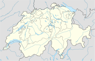
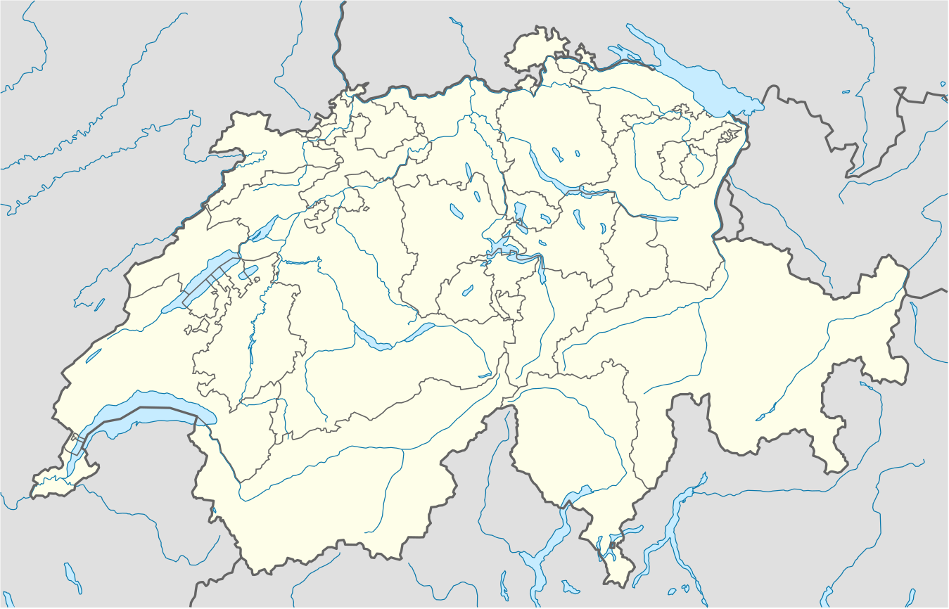
Deutsch: Positionskarte der Schweiz
Quadratische Plattkarte, N-S-Streckung 146,138 %. Geographische Begrenzung der Karte:
English: Location map of Switzerland
Equirectangular projection, N/S stretching 146,138 %. Geographic limits of the map:
|
| ದಿನಾಂಕ | |
| ಆಕರ |
ಸ್ವಂತ ಕೆಲಸ, using
|
| ಕರ್ತೃ | NordNordWest |
| ಇತರೆ ಆವೃತ್ತಿಗಳು |
Derivative works of this file: Location of Battle of Winterthur 1799.svg
|
| SVG genesis | This map was created with unknown tool. | style="margin:0.5em;" | This map has been made or improved in the German Kartenwerkstatt (Map Lab). You can propose maps to improve as well.
|} |
_location_map.svg)


ಪರವಾನಗಿ
I, the copyright holder of this work, hereby publish it under the following license:
ಈ ಕಡತ ಕ್ರಿಯೇಟಿವ್ ಕಾಮನ್ಸ್ Attribution
-Share Alike 3.0 Unported ಪರವಾನಗಿ ಹೊಂದಿದೆ.
- ನೀವು ಮುಕ್ತ:
- ಹಂಚಿಕೆಗೆ – ಕೆಲಸವನ್ನು ನಕಲು ಮಾಡಲು, ವಿತರಣೆ ಮತ್ತು ಸಾಗಿಸಲು
- ರೀಮಿಕ್ಸ್ ಮಾಡಲು – ಕೆಲಸವನ್ನು ಬಳಸಿಕೊಳ್ಳಲು
- ಈ ಕೆಳಗಿನ ಷರತ್ತುಗಳಲ್ಲಿ:
- ವೈಶಿಷ್ಟ್ಯ – ನೀವು ಸೂಕ್ತವಾದ ಕ್ರೆಡಿಟ್ ನೀಡಬೇಕು, ಪರವಾನಗಿಗೆ ಲಿಂಕ್ ಅನ್ನು ಒದಗಿಸಬೇಕು ಮತ್ತು ಯಾವುದೇ ಬದಲಾವಣೆಗಳನ್ನು ಮಾಡಿದ್ದರೆ ಸೂಚಿಸಬೇಕು. ನೀವು ಯಾವುದೇ ಸಮಂಜಸವಾದ ರೀತಿಯಲ್ಲಿ ಮಾಡಬಹುದು, ಆದರೆ ಪರವಾನಗಿದಾರರು ನಿಮ್ಮನ್ನು ಅಥವಾ ನಿಮ್ಮ ಯಾವುದೇ ಬಳಕೆಯನ್ನು ಅನುಮೋದಿಸಿದಂತೆ ರೀತಿಯಲ್ಲಿ ಉಪಯೋಗಿಸಬಾರದು.
- ಇರುವುದರಂತೆಯೇ ಹಂಚು – ನೀವು ರೀಮಿಕ್ಸ್ ಮಾಡಿದರೆ, ರೂಪಾಂತರಗೊಳಿಸಿದರೆ ಅಥವಾ ವಸ್ತುವಿನ ಮೇಲೆ ನಿರ್ಮಿಸಿದರೆ, ನಿಮ್ಮ ಕೊಡುಗೆಗಳನ್ನು ನೀವು ಮೂಲದಂತೆ ಅದೇ ಅಥವಾ ಹೊಂದಾಣಿಕೆಯ ಪರವಾನಗಿ ಅಡಿಯಲ್ಲಿ ವಿತರಿಸಬೇಕು.
Gallery
-
 relief
 -
 default
 -
 image1
 -
 image2
 -
 relief1
 -
 relief2
 -
 relief3


ಕಡತದ ಇತಿಹಾಸ
ದಿನ/ಕಾಲ ಒತ್ತಿದರೆ ಆ ಸಮಯದಲ್ಲಿ ಈ ಕಡತದ ವಸ್ತುಸ್ಥಿತಿ ತೋರುತ್ತದೆ.
| ದಿನ/ಕಾಲ | ಕಿರುನೋಟ | ಆಯಾಮಗಳು | ಬಳಕೆದಾರ | ಟಿಪ್ಪಣಿ | |
|---|---|---|---|---|---|
| ಪ್ರಸಕ್ತ | ೦೪:೨೦, ೧೮ ಡಿಸೆಂಬರ್ ೨೦೧೭ | | ೧,೩೪೯ × ೮೬೫ (೨೫೮ KB) | Reinhard Kraasch | Verlauf des Doubs korrigiert |
| ೧೫:೨೧, ೪ ಡಿಸೆಂಬರ್ ೨೦೦೯ |  | ೧,೩೪೯ × ೮೬೫ (೨೬೦ KB) | NordNordWest | c | |
| ೧೩:೫೭, ೧೨ ಆಗಸ್ಟ್ ೨೦೦೯ |  | ೧,೩೪೯ × ೮೮೮ (೨೫೫ KB) | NordNordWest | no improvement, no changes without discussion about it | |
| ೧೩:೩೭, ೧೨ ಆಗಸ್ಟ್ ೨೦೦೯ |  | ೧,೩೪೯ × ೮೮೮ (೨೬೦ KB) | Lukasb1992 | borders of cantons | |
| ೨೨:೩೩, ೧೬ ಜೂನ್ ೨೦೦೯ |  | ೧,೩೪೯ × ೮೮೮ (೨೫೫ KB) | NordNordWest | {{Information |Description= {{de|Positionskarte der Schweiz}} Quadratische Plattkarte, N-S-Streckung 150 %. Geographische Begrenzung der Karte: * N: 47.9° N * S: 45.75° N * W: 5.8° O * O: 10.7° O {{en|Location map of [[:en:Switzerland| |
ಕಡತ ಬಳಕೆ
ಈ ಕೆಳಗಿನ 2 ಪುಟಗಳು ಈ ಚಿತ್ರಕ್ಕೆ ಸಂಪರ್ಕ ಹೊಂದಿವೆ:
ಜಾಗತಿಕ ಕಡತ ಉಪಯೋಗ
ಈ ಕಡತವನ್ನು ಕೆಳಗಿನ ಬೇರೆ ವಿಕಿಗಳೂ ಉಪಯೋಗಿಸುತ್ತಿವೆ:
- af.wikipedia.org ಮೇಲೆ ಬಳಕೆ
- am.wikipedia.org ಮೇಲೆ ಬಳಕೆ
- ar.wikipedia.org ಮೇಲೆ ಬಳಕೆ
- arz.wikipedia.org ಮೇಲೆ ಬಳಕೆ
- av.wikipedia.org ಮೇಲೆ ಬಳಕೆ
- az.wikipedia.org ಮೇಲೆ ಬಳಕೆ
- Cenevrə
- Sankt-Morits
- Şablon:Yer xəritəsi İsveçrə
- Sürix
- Qruyer
- Lozanna
- Sitqlogge
- Müqəddəs Ruh kilsəsi (Bern)
- İsveçrə Federal sarayı
- Bil
- Nyon
- Çuq (kanton)
- Bergün
- Bazel
- La-Şo-de-Fon
- Lütsern
- Fluntern qəbiristanlığı
- Davos
- Qraubünden
- Arqau
- Bua-de-Vo qəbiristanlığı
- Vo (kanton)
- Vil (Sankt-Qallen)
- Sankt-Qallen (kanton)
- Lauterbrunnen
- Vintertur
- Sankt-Qallen
ಈ ಫೈಲ್ನ ಹೆಚ್ಚು ಜಾಗತಿಕ ಬಳಕೆಯನ್ನು ವೀಕ್ಷಿಸಿ.