ಚಿತ್ರ:LocationSouthAmerica.png
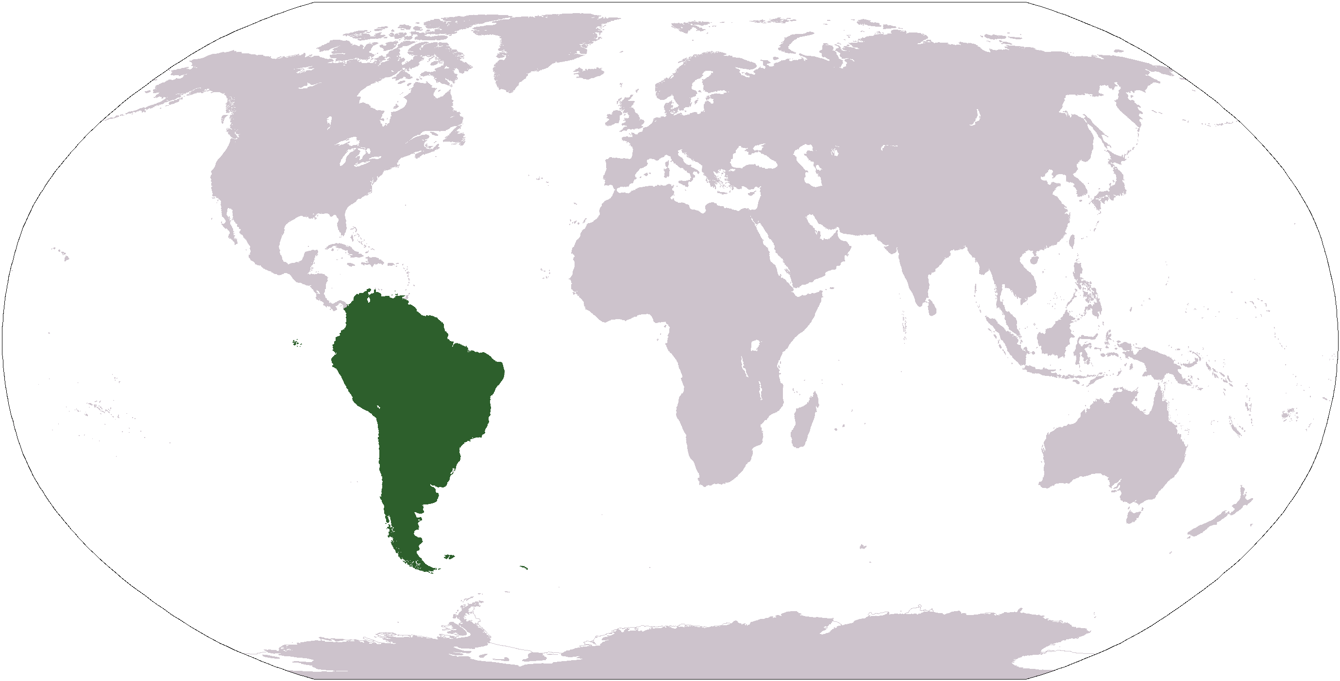
ಈ ಮುನ್ನೋಟ ಗಾತ್ರ:೮೦೦ × ೪೦೭ ಪಿಕ್ಸೆಲ್ಗಳು. ಇತರ ರೆಸಲ್ಯೂಶನ್ಗಳು: ೩೨೦ × ೧೬೩ ಪಿಕ್ಸೆಲ್ಗಳು | ೬೪೦ × ೩೨೬ ಪಿಕ್ಸೆಲ್ಗಳು | ೧,೦೨೪ × ೫೨೧ ಪಿಕ್ಸೆಲ್ಗಳು | ೧,೨೮೦ × ೬೫೧ ಪಿಕ್ಸೆಲ್ಗಳು | ೨,೭೫೯ × ೧,೪೦೪ ಪಿಕ್ಸೆಲ್ಗಳು.
ಮೂಲ ಕಡತ (೨,೭೫೯ × ೧,೪೦೪ ಚಿತ್ರಬಿಂದು, ಫೈಲಿನ ಗಾತ್ರ: ೧೦೧ KB, MIME ಪ್ರಕಾರ: image/png)
ಈ ಫೈಲು ವಿಕಿಮೀಡಿಯ ಕಾಮನ್ಸ್ನಲ್ಲಿ ಇರುವುದು. ಅಲ್ಲಿನ ವಿವರಣೆ ಪುಟವನ್ನೇ ಕೆಳಗೆ ತೋರಿಸಲಾಗಿದೆ. ಕಾಮನ್ಸ್ ಕೃತಿಸ್ವಾಮ್ಯತೆಯಿಂದ ಮುಕ್ತ ಫೈಲುಗಳ ಒಂದು ಆಗರ. ಅಲ್ಲಿ ನೀವೂ ಸಹಕರಿಸಬಹುದು. |

|
File:Location of South America.svg is a vector version of this file. It should be used in place of this PNG file when not inferior.
File:LocationSouthAmerica.png → File:Location of South America.svg
For more information, see Help:SVG. |
 |
| ವಿವರ |
Deutsch: Weltkarte mit Fokus auf Südamerika
English: World map depicting South America
Esperanto: Mondmapo bildiganta Sudamerikon
Español: Ubicación de América del Sur |
| ದಿನಾಂಕ | (UTC) |
| ಆಕರ | map adapted from PDF world map at CIA World Fact Book |
| ಕರ್ತೃ | Central Intelligence Agency, Maximaximax, Ghalas, Huhsunqu, E Pluribus Anthony, Cogito ergo sumo, and Snoopen82 (via Image:LocationSouthAmerica2.png per this request) |
| ಇತರೆ ಆವೃತ್ತಿಗಳು |
Derivative works of this file: Wikinews Ameryka Południowa.png Formerly Image:LocationSouthAmerica2.png. |
This image is in the public domain because it contains materials that originally came from the United States Central Intelligence Agency's World Factbook.
|
 |
ಕಡತದ ಇತಿಹಾಸ
ದಿನ/ಕಾಲ ಒತ್ತಿದರೆ ಆ ಸಮಯದಲ್ಲಿ ಈ ಕಡತದ ವಸ್ತುಸ್ಥಿತಿ ತೋರುತ್ತದೆ.
| ದಿನ/ಕಾಲ | ಕಿರುನೋಟ | ಆಯಾಮಗಳು | ಬಳಕೆದಾರ | ಟಿಪ್ಪಣಿ | |
|---|---|---|---|---|---|
| ಪ್ರಸಕ್ತ | ೧೮:೦೯, ೧೯ ಜನವರಿ ೨೦೦೮ | | ೨,೭೫೯ × ೧,೪೦೪ (೧೦೧ KB) | F l a n k e r | Transparency |
| ೨೩:೩೩, ೧೬ ಆಗಸ್ಟ್ ೨೦೦೭ |  | ೨,೭೫೯ × ೧,೪೦೪ (೪೬ KB) | Jeff G. | Updated version without Panama per Commons:Administrators' noticeboard/Attention#Move_image_request_Image:LocationSouthAmerica2.png_to_Image:LocationSouthAmerica.png_.28user_account_too_new.29 | |
| ೧೦:೨೦, ೧೦ ಸೆಪ್ಟೆಂಬರ್ ೨೦೦೬ |  | ೨,೭೫೯ × ೧,೪೦೪ (೫೫ KB) | Cogito ergo sumo~commonswiki | World map: South America (location) | |
| ೧೦:೧೮, ೨೨ ಜನವರಿ ೨೦೦೬ |  | ೨,೭೫೯ × ೧,೪೦೪ (೫೫ KB) | E Pluribus Anthony~commonswiki | World map: South America (location) | |
| ೦೪:೦೪, ೧೬ ಜನವರಿ ೨೦೦೬ |  | ೧,೩೮೧ × ೭೦೩ (೪೮ KB) | Huhsunqu | ||
| ೧೮:೦೩, ೨೯ ಏಪ್ರಿಲ್ ೨೦೦೫ |  | ೧,೩೮೧ × ೭೦೩ (೧೬ KB) | Ghalas | Half the size {{PD-USGov-CIA-WF}} | |
| ೧೪:೦೨, ೨೮ ಏಪ್ರಿಲ್ ೨೦೦೫ |  | ೨,೭೫೯ × ೧,೪೦೪ (೩೯ KB) | Ghalas | Extracted from CIA World Factbook PDF world map, then rasterized and colored. {{PD}} | |
| ೧೧:೦೩, ೨೯ ಡಿಸೆಂಬರ್ ೨೦೦೪ |  | ೨೫೦ × ೧೧೬ (೧೧ KB) | Maximaximax | Location of South America (from en:) {{GFDL}} |
ಕಡತ ಬಳಕೆ
ಈ ಕೆಳಗಿನ 8 ಪುಟಗಳು ಈ ಚಿತ್ರಕ್ಕೆ ಸಂಪರ್ಕ ಹೊಂದಿವೆ:
ಜಾಗತಿಕ ಕಡತ ಉಪಯೋಗ
ಈ ಕಡತವನ್ನು ಕೆಳಗಿನ ಬೇರೆ ವಿಕಿಗಳೂ ಉಪಯೋಗಿಸುತ್ತಿವೆ:
- ace.wikipedia.org ಮೇಲೆ ಬಳಕೆ
- af.wikipedia.org ಮೇಲೆ ಬಳಕೆ
- als.wikipedia.org ಮೇಲೆ ಬಳಕೆ
- am.wikipedia.org ಮೇಲೆ ಬಳಕೆ
- ang.wikipedia.org ಮೇಲೆ ಬಳಕೆ
- ar.wikipedia.org ಮೇಲೆ ಬಳಕೆ
- ar.wikinews.org ಮೇಲೆ ಬಳಕೆ
- arz.wikipedia.org ಮೇಲೆ ಬಳಕೆ
- as.wikipedia.org ಮೇಲೆ ಬಳಕೆ
- azb.wikipedia.org ಮೇಲೆ ಬಳಕೆ
- az.wikipedia.org ಮೇಲೆ ಬಳಕೆ
- bat-smg.wikipedia.org ಮೇಲೆ ಬಳಕೆ
ಈ ಫೈಲ್ನ ಹೆಚ್ಚು ಜಾಗತಿಕ ಬಳಕೆಯನ್ನು ವೀಕ್ಷಿಸಿ.