ಚಿತ್ರ:India Andhra Pradesh location map (until 2014).svg

Size of this PNG preview of this SVG file: ೬೪೩ × ೫೯೯ ಪಿಕ್ಸೆಲ್ಗಳು. ಇತರ ರೆಸಲ್ಯೂಶನ್ಗಳು: ೨೫೮ × ೨೪೦ ಪಿಕ್ಸೆಲ್ಗಳು | ೫೧೫ × ೪೮೦ ಪಿಕ್ಸೆಲ್ಗಳು | ೮೨೪ × ೭೬೮ ಪಿಕ್ಸೆಲ್ಗಳು | ೧,೦೯೯ × ೧,೦೨೪ ಪಿಕ್ಸೆಲ್ಗಳು | ೨,೧೯೮ × ೨,೦೪೮ ಪಿಕ್ಸೆಲ್ಗಳು | ೨,೭೧೬ × ೨,೫೩೧ ಪಿಕ್ಸೆಲ್ಗಳು.
ಮೂಲ ಕಡತ (SVG ಫೈಲು, ಸುಮಾರಾಗಿ ೨,೭೧೬ × ೨,೫೩೧ ಚಿತ್ರಬಿಂದುಗಳು, ಫೈಲಿನ ಗಾತ್ರ: ೪೨೧ KB)
ಈ ಫೈಲು ವಿಕಿಮೀಡಿಯ ಕಾಮನ್ಸ್ನಲ್ಲಿ ಇರುವುದು. ಅಲ್ಲಿನ ವಿವರಣೆ ಪುಟವನ್ನೇ ಕೆಳಗೆ ತೋರಿಸಲಾಗಿದೆ. ಕಾಮನ್ಸ್ ಕೃತಿಸ್ವಾಮ್ಯತೆಯಿಂದ ಮುಕ್ತ ಫೈಲುಗಳ ಒಂದು ಆಗರ. ಅಲ್ಲಿ ನೀವೂ ಸಹಕರಿಸಬಹುದು. |
.svg)
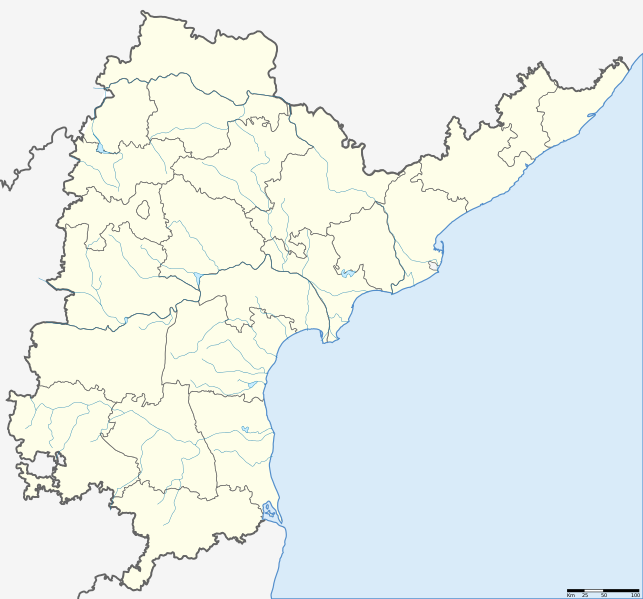
| ವಿವರ | Location map of Andhra Pradesh. Coordinates: top=19.957, bottom=12.522, left=76.593, right=84.935. |
| ದಿನಾಂಕ | (UTC) |
| ಆಕರ | |
| ಕರ್ತೃ |
|
.svg)
| This is a retouched picture, which means that it has been digitally altered from its original version. The original can be viewed here: Andhra Pradesh locator map.svg: File:Andhra Pradesh locator map.svg.
|
I, the copyright holder of this work, hereby publish it under the following license:
ಈ ಕಡತ ಕ್ರಿಯೇಟಿವ್ ಕಾಮನ್ಸ್ Attribution
-Share Alike 3.0 Unported ಪರವಾನಗಿ ಹೊಂದಿದೆ.
- ನೀವು ಮುಕ್ತ:
- ಹಂಚಿಕೆಗೆ – ಕೆಲಸವನ್ನು ನಕಲು ಮಾಡಲು, ವಿತರಣೆ ಮತ್ತು ಸಾಗಿಸಲು
- ರೀಮಿಕ್ಸ್ ಮಾಡಲು – ಕೆಲಸವನ್ನು ಬಳಸಿಕೊಳ್ಳಲು
- ಈ ಕೆಳಗಿನ ಷರತ್ತುಗಳಲ್ಲಿ:
- ವೈಶಿಷ್ಟ್ಯ – ನೀವು ಸೂಕ್ತವಾದ ಕ್ರೆಡಿಟ್ ನೀಡಬೇಕು, ಪರವಾನಗಿಗೆ ಲಿಂಕ್ ಅನ್ನು ಒದಗಿಸಬೇಕು ಮತ್ತು ಯಾವುದೇ ಬದಲಾವಣೆಗಳನ್ನು ಮಾಡಿದ್ದರೆ ಸೂಚಿಸಬೇಕು. ನೀವು ಯಾವುದೇ ಸಮಂಜಸವಾದ ರೀತಿಯಲ್ಲಿ ಮಾಡಬಹುದು, ಆದರೆ ಪರವಾನಗಿದಾರರು ನಿಮ್ಮನ್ನು ಅಥವಾ ನಿಮ್ಮ ಯಾವುದೇ ಬಳಕೆಯನ್ನು ಅನುಮೋದಿಸಿದಂತೆ ರೀತಿಯಲ್ಲಿ ಉಪಯೋಗಿಸಬಾರದು.
- ಇರುವುದರಂತೆಯೇ ಹಂಚು – ನೀವು ರೀಮಿಕ್ಸ್ ಮಾಡಿದರೆ, ರೂಪಾಂತರಗೊಳಿಸಿದರೆ ಅಥವಾ ವಸ್ತುವಿನ ಮೇಲೆ ನಿರ್ಮಿಸಿದರೆ, ನಿಮ್ಮ ಕೊಡುಗೆಗಳನ್ನು ನೀವು ಮೂಲದಂತೆ ಅದೇ ಅಥವಾ ಹೊಂದಾಣಿಕೆಯ ಪರವಾನಗಿ ಅಡಿಯಲ್ಲಿ ವಿತರಿಸಬೇಕು.
Original upload log
This image is a derivative work of the following images:
- File:Andhra Pradesh locator map (1956-2014).svg licensed with Cc-by-sa-3.0
- 2007-05-05T10:40:49Z Planemad 2716x2531 (381105 Bytes) {{WikiProject_India_Maps |Title=Andhra Pradesh locator Map |Description=Map of [[w:Andhra Pradesh]] with road and rail lines |Source= [http://www.etctours.net/gifs/apmap.jpg ETC Tours - Andhra map], [http://www.indianrailways
Uploaded with derivativeFX
ಕಡತದ ಇತಿಹಾಸ
ದಿನ/ಕಾಲ ಒತ್ತಿದರೆ ಆ ಸಮಯದಲ್ಲಿ ಈ ಕಡತದ ವಸ್ತುಸ್ಥಿತಿ ತೋರುತ್ತದೆ.
| ದಿನ/ಕಾಲ | ಕಿರುನೋಟ | ಆಯಾಮಗಳು | ಬಳಕೆದಾರ | ಟಿಪ್ಪಣಿ | |
|---|---|---|---|---|---|
| ಪ್ರಸಕ್ತ | ೧೨:೪೩, ೨೭ ಮೇ ೨೦೧೩ | | ೨,೭೧೬ × ೨,೫೩೧ (೪೨೧ KB) | Milenioscuro | standard colors + rivers |
| ೧೮:೩೯, ೧೪ ಜೂನ್ ೨೦೧೨ |  | ೨,೭೧೬ × ೨,೫೩೧ (೩೭೨ KB) | Arjunaraoc | Reverted to version as of 20:47, 12 August 2011 | |
| ೦೯:೩೨, ೧೧ ಜೂನ್ ೨೦೧೨ |  | ೨,೭೧೬ × ೨,೫೩೧ (೩೬೬ KB) | Arjunaraoc | Removed other state boundaries, as the location map error could be due to this. | |
| ೦೨:೧೭, ೧೩ ಆಗಸ್ಟ್ ೨೦೧೧ |  | ೨,೭೧೬ × ೨,೫೩೧ (೩೭೨ KB) | Abhijitsathe | {{Information |Description=Location map of Andhra Pradesh |Source=*File:Andhra_Pradesh_locator_map.svg |Date=2011-08-12 20:46 (UTC) |Author=*File:Andhra_Pradesh_locator_map.svg: '''Planemad''' *derivative work: ~~~ |Permission= |other_versions |
ಕಡತ ಬಳಕೆ
ಈ ಕೆಳಗಿನ ಪುಟವು ಈ ಚಿತ್ರಕ್ಕೆ ಸಂಪರ್ಕ ಹೊಂದಿದೆ:
ಜಾಗತಿಕ ಕಡತ ಉಪಯೋಗ
ಈ ಕಡತವನ್ನು ಕೆಳಗಿನ ಬೇರೆ ವಿಕಿಗಳೂ ಉಪಯೋಗಿಸುತ್ತಿವೆ:
- en.wikipedia.org ಮೇಲೆ ಬಳಕೆ
- new.wikipedia.org ಮೇಲೆ ಬಳಕೆ
- te.wikipedia.org ಮೇಲೆ ಬಳಕೆ
.svg)