ಚಿತ್ರ:AMS-Kodaikanal.jpg

ಈ ಮುನ್ನೋಟ ಗಾತ್ರ:೮೦೦ × ೫೬೫ ಪಿಕ್ಸೆಲ್ಗಳು. ಇತರ ರೆಸಲ್ಯೂಶನ್ಗಳು: ೩೨೦ × ೨೨೬ ಪಿಕ್ಸೆಲ್ಗಳು | ೬೪೦ × ೪೫೨ ಪಿಕ್ಸೆಲ್ಗಳು | ೧,೦೨೪ × ೭೨೩ ಪಿಕ್ಸೆಲ್ಗಳು | ೧,೨೮೦ × ೯೦೪ ಪಿಕ್ಸೆಲ್ಗಳು | ೧,೬೦೦ × ೧,೧೩೦ ಪಿಕ್ಸೆಲ್ಗಳು.
ಮೂಲ ಕಡತ (೧,೬೦೦ × ೧,೧೩೦ ಚಿತ್ರಬಿಂದು, ಫೈಲಿನ ಗಾತ್ರ: ೧.೨ MB, MIME ಪ್ರಕಾರ: image/jpeg)
ಈ ಫೈಲು ವಿಕಿಮೀಡಿಯ ಕಾಮನ್ಸ್ನಲ್ಲಿ ಇರುವುದು. ಅಲ್ಲಿನ ವಿವರಣೆ ಪುಟವನ್ನೇ ಕೆಳಗೆ ತೋರಿಸಲಾಗಿದೆ. ಕಾಮನ್ಸ್ ಕೃತಿಸ್ವಾಮ್ಯತೆಯಿಂದ ಮುಕ್ತ ಫೈಲುಗಳ ಒಂದು ಆಗರ. ಅಲ್ಲಿ ನೀವೂ ಸಹಕರಿಸಬಹುದು. |
ಸಾರಾಂಶ
| ವಿವರ |
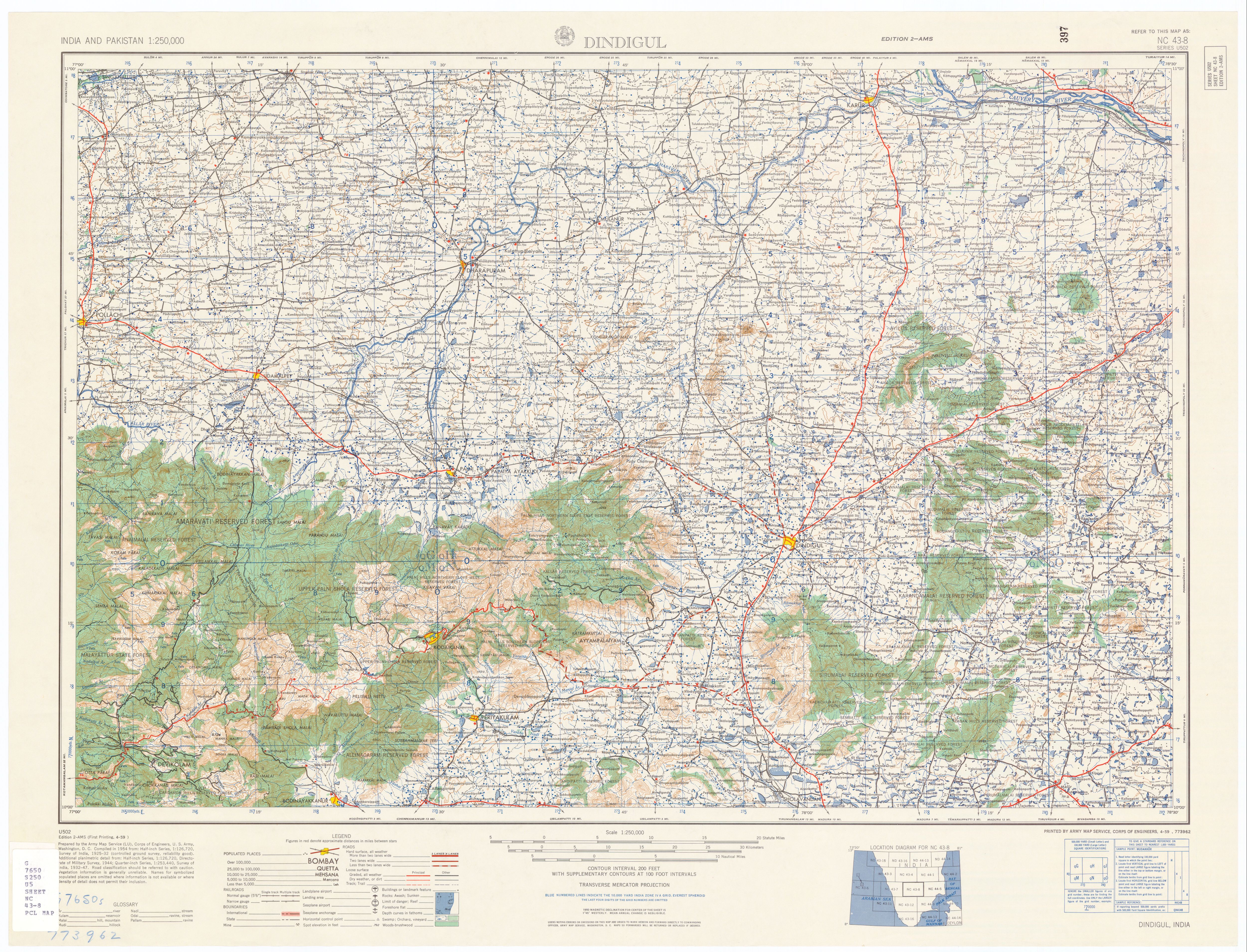
English: Kodaikanal topo map |
| ದಿನಾಂಕ | |
| ಆಕರ | U.S. Army Topographic Command |
| ಕರ್ತೃ | U.S. Army Map Service |
| ಅನುಮತಿ (ಈ ಕಡತವನ್ನು ಮರುಬಳಕೆ ಮಾಡಲಾಗುತ್ತಿದೆ) |
Public domain |
| ಇತರೆ ಆವೃತ್ತಿಗಳು | http://www.lib.utexas.edu/maps/ams/india/nc-43-08.jpg , http://www.lib.utexas.edu/maps/ams/india/ |
ಪರವಾನಗಿ
This file is a work of a U.S. Army soldier or employee, taken or made as part of that person's official duties. As a work of the U.S. federal government, it is in the public domain in the United States.
|
 |
ಕಡತದ ಇತಿಹಾಸ
ದಿನ/ಕಾಲ ಒತ್ತಿದರೆ ಆ ಸಮಯದಲ್ಲಿ ಈ ಕಡತದ ವಸ್ತುಸ್ಥಿತಿ ತೋರುತ್ತದೆ.
| ದಿನ/ಕಾಲ | ಕಿರುನೋಟ | ಆಯಾಮಗಳು | ಬಳಕೆದಾರ | ಟಿಪ್ಪಣಿ | |
|---|---|---|---|---|---|
| ಪ್ರಸಕ್ತ | ೧೦:೩೩, ೨೫ ಅಕ್ಟೋಬರ್ ೨೦೦೮ | | ೧,೬೦೦ × ೧,೧೩೦ (೧.೨ MB) | Marcus334 | {{Information |Description={{en|1=Kodaikanal topo map}} |Source=U.S. Army Topographic Command |Author=U.S. Army Map Service |Date=1955 |Permission=Public domain |other_versions=http://www.lib.utexas.edu/maps/ams/india/nc-43-08.jpg , http://www.lib.utexas. |
ಕಡತ ಬಳಕೆ
ಈ ಕೆಳಗಿನ ಪುಟವು ಈ ಚಿತ್ರಕ್ಕೆ ಸಂಪರ್ಕ ಹೊಂದಿದೆ:
ಜಾಗತಿಕ ಕಡತ ಉಪಯೋಗ
ಈ ಕಡತವನ್ನು ಕೆಳಗಿನ ಬೇರೆ ವಿಕಿಗಳೂ ಉಪಯೋಗಿಸುತ್ತಿವೆ:
- en.wikipedia.org ಮೇಲೆ ಬಳಕೆ
- gu.wikipedia.org ಮೇಲೆ ಬಳಕೆ
- no.wikipedia.org ಮೇಲೆ ಬಳಕೆ